For our Calf Hey Reservoir walk & Musbury Heights walk, we cover lots of high fell ground and an abandoned quarry, with great views of Lancashire throughout.
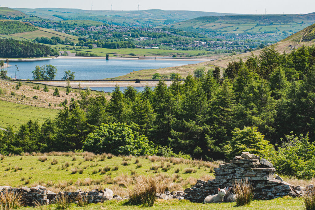
Calf Hey Reservoir
Location; Haslingden, Lancashire
Distance; 5.36 Miles
Difficulty; Moderate
WATCH our SHORT Calf Hey Reservoir Youtube Film
Calf Hey Reservoir Walk
We start our walk from the Calf Hey road car park, situated a few metres from Calf Hey Reservoir, off Grane Road, Haslingden.
Currently this is a free parking service, but once over there was a coin machine here charging a small fee. In case it returns, best to have a couple of quid on you!! It also shuts at 5.30pm, so best to get your walk done in the morning or early afternoon.
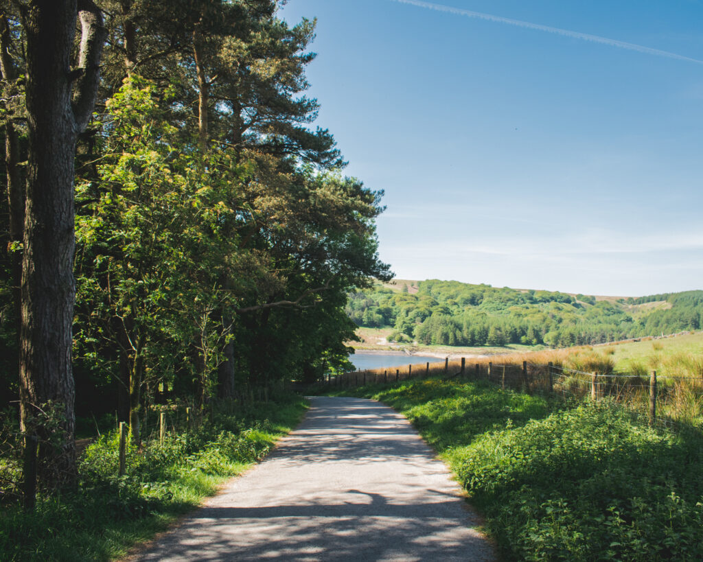
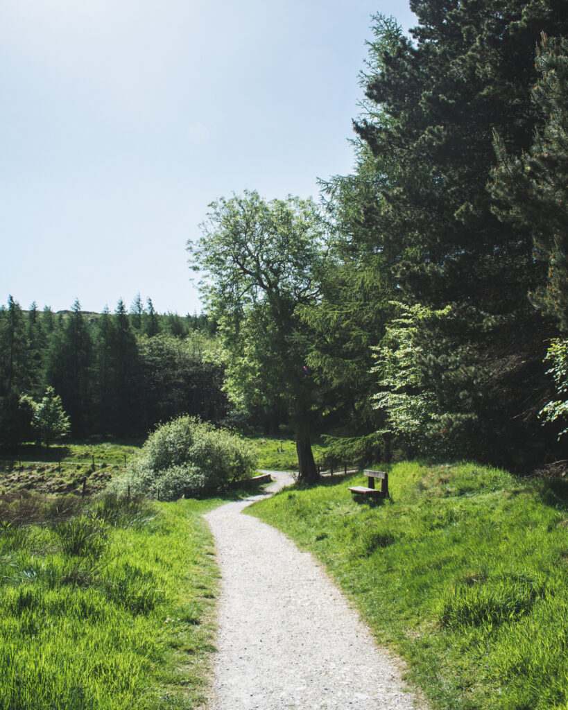
Once you’re parked up, descend down towards Calf Hey reservoir, before turning off to the right, slightly climbing up the tarmac path. Already nice views of the reservoir from up here!
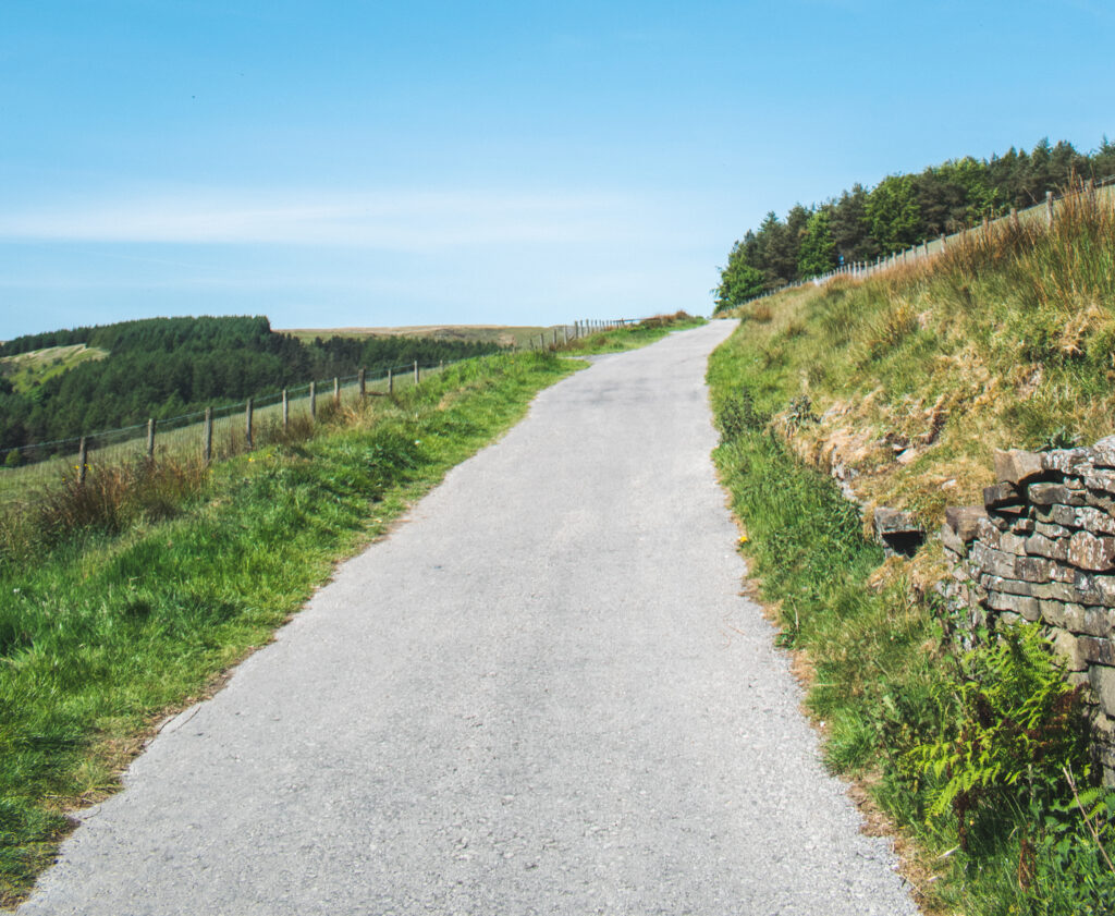
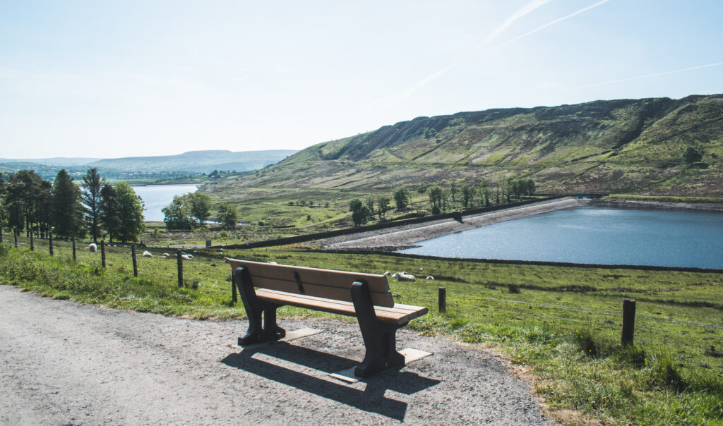
It’s not time to sit down just yet!
Continue along this path, passing old ruins of Hartley House, a family that once farmed this land.
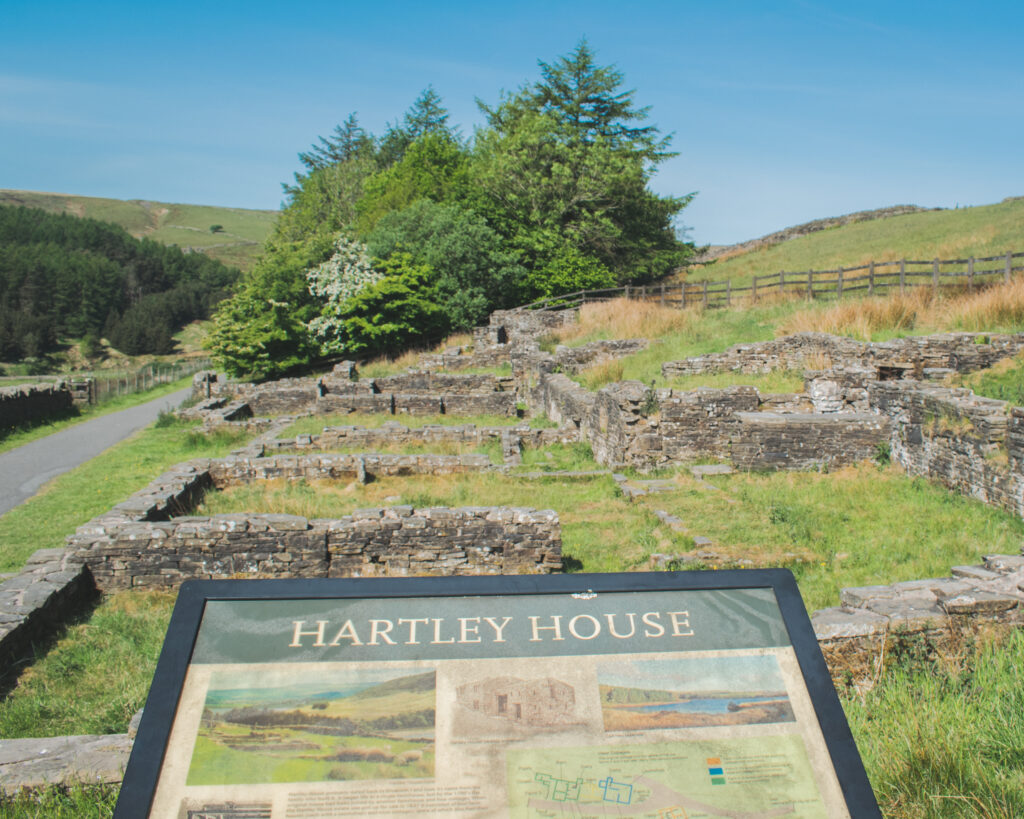
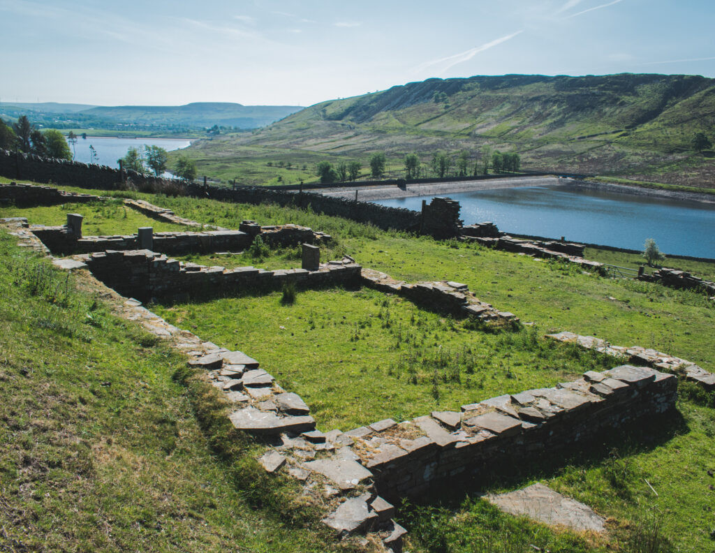
Already you will spot Ogden Reservoir off in the distance. We will be passing along Ogden later in our walk… for now we continue to circle Calf Hey, dropping back down closer to the reservoir.
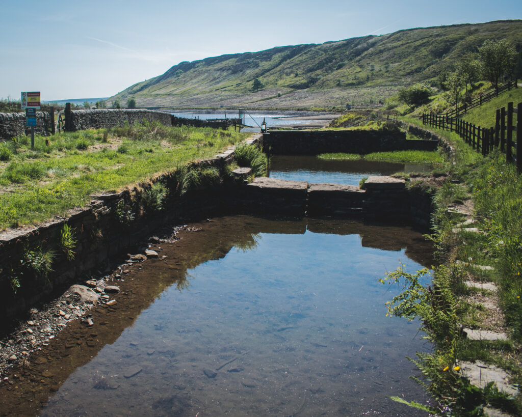
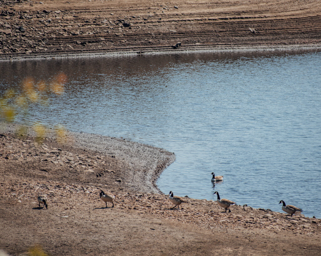
Whenever we visit here, there’s always birdlife around the reservoir. Expect farmlife too in the surrounding fields. Dogs on leads is probably best if you spot anything!
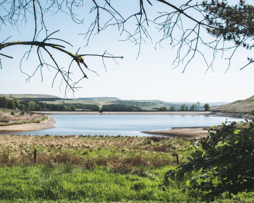
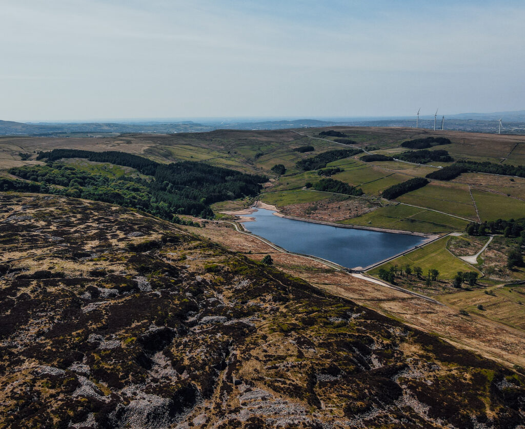
Calf Hey reservoir looks beautiful from all angles… but especially from above! Check out this stunning drone shot we captured on our last visit!
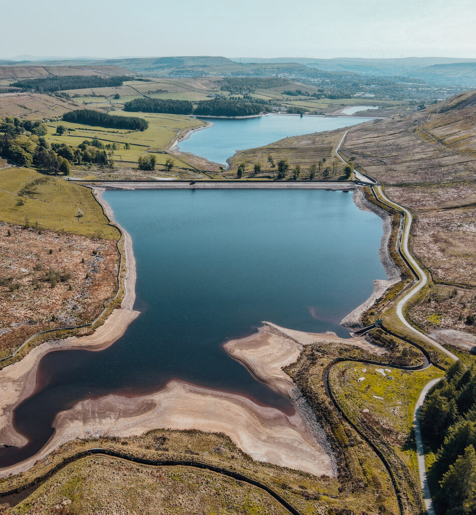
We are Lancashire based drone pilots.
If you own or know of anyone with a beautiful Lancashire based business location, plot of land or simply a stunning rural home (distanced from other houses) and you believe our drones could capture something special for you, get in touch here!
Ok, enough about drones! Let’s get back to the walk 🙂
Once we have edged past the far end of the reservoir, with a small woodland up to our right, you should notice a turn heading up among trees (with a stream by it’s side).
See below what to look out for…
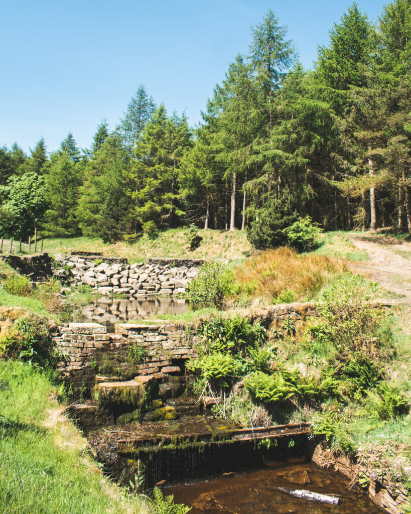
Our plan is to take this path, arriving at a beautiful little bridge crossing. We will be crossing this (from the left), starting our ascent towards the fells.
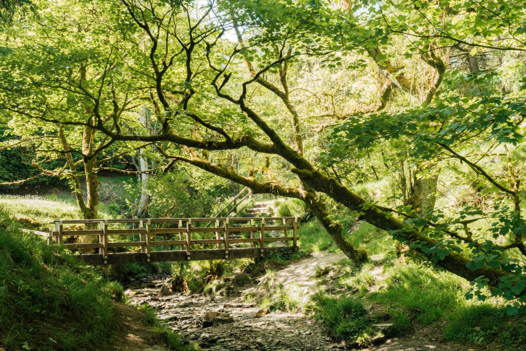
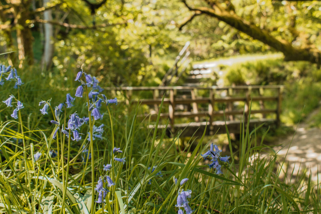
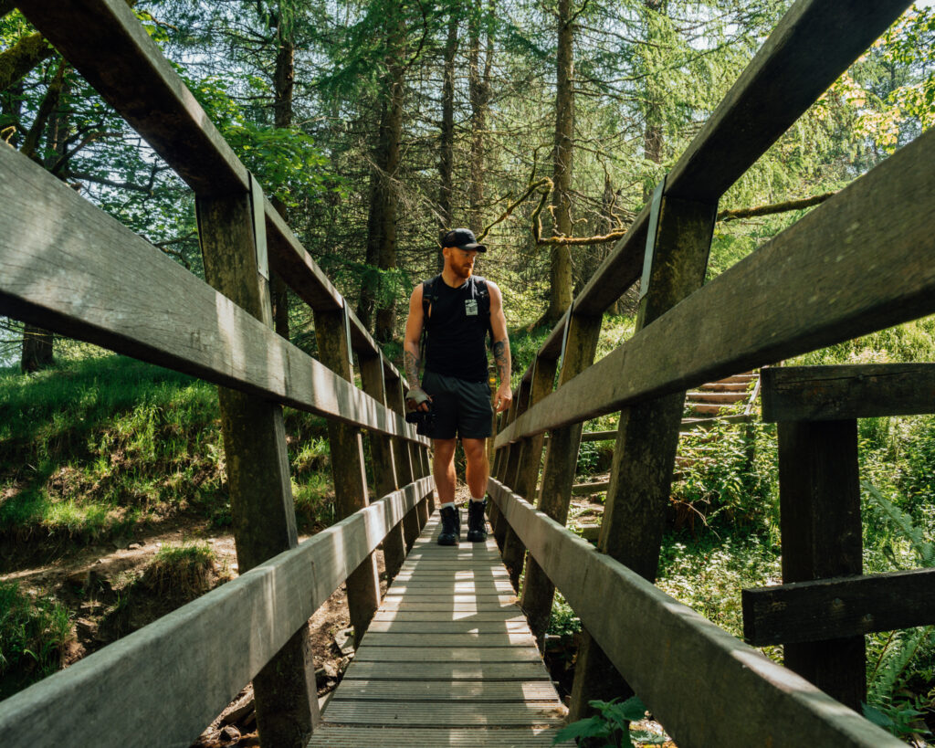
We can’t get enough of this bridge haha! Whether it’s surrounded by bluebells in the spring, or looking all moody and mossy through autumn / winter… it’s a beaut!
Once we’ve crossed the bridge, get ready to turn left in less than 20 metres. You should spot this little wooden crossing, great for the boggy season!
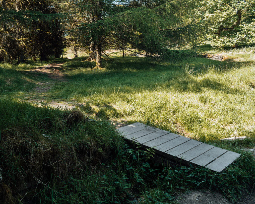
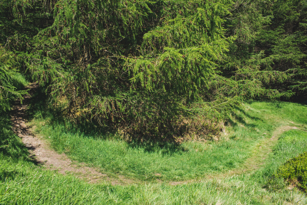
The path should be obvious to follow, winding up through the woodlands…
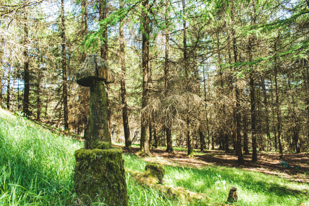
Look out for the quirky mushroom carvings among the trees to the right!
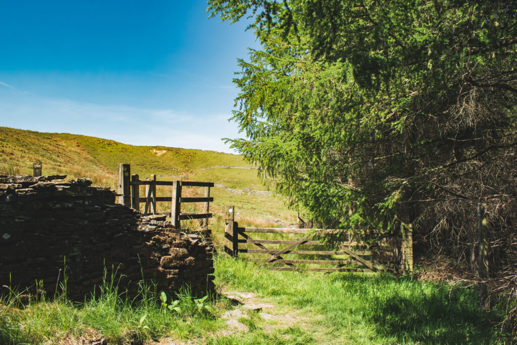
After another 200+ metres kissing the edge of the tree line, we should eventually meet a gate taking us into the fells.
As we enter the field, keep to the path taking up over towards another piece of history…
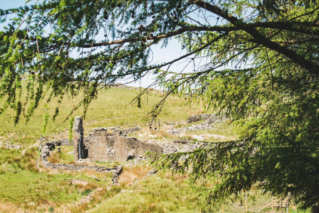
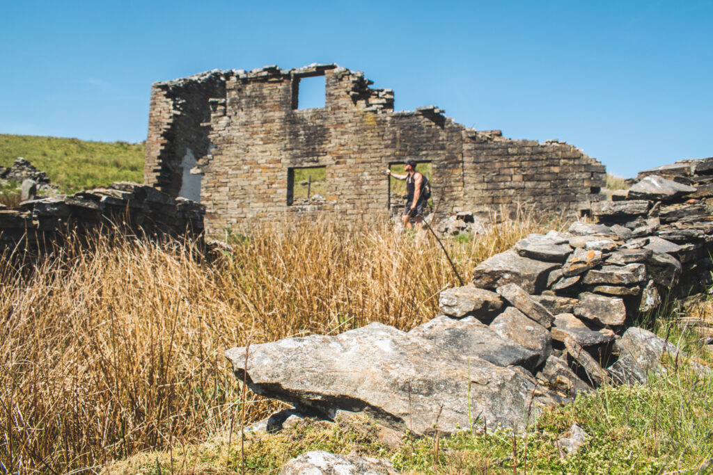
As we pass by yet another fallen building, you will notice a path going off to the left. Don’t take it! Instead edge around the ruin following the path to the right, with Calf Hey reservoir now back in sight.
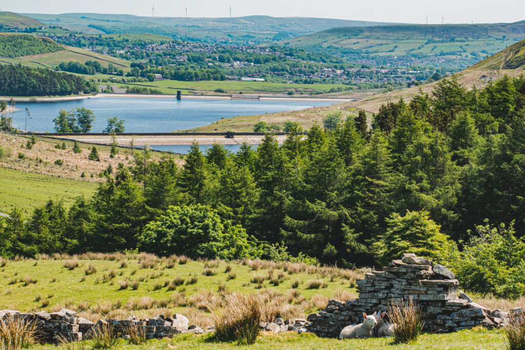
We will pass another ruin on our path through the fell, with a paved path thrown in to help us avoid any boggy areas. We will be heading towards on old farm track. Expect more farm life, so dogs back on leads up here.
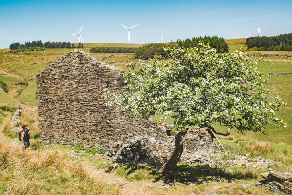
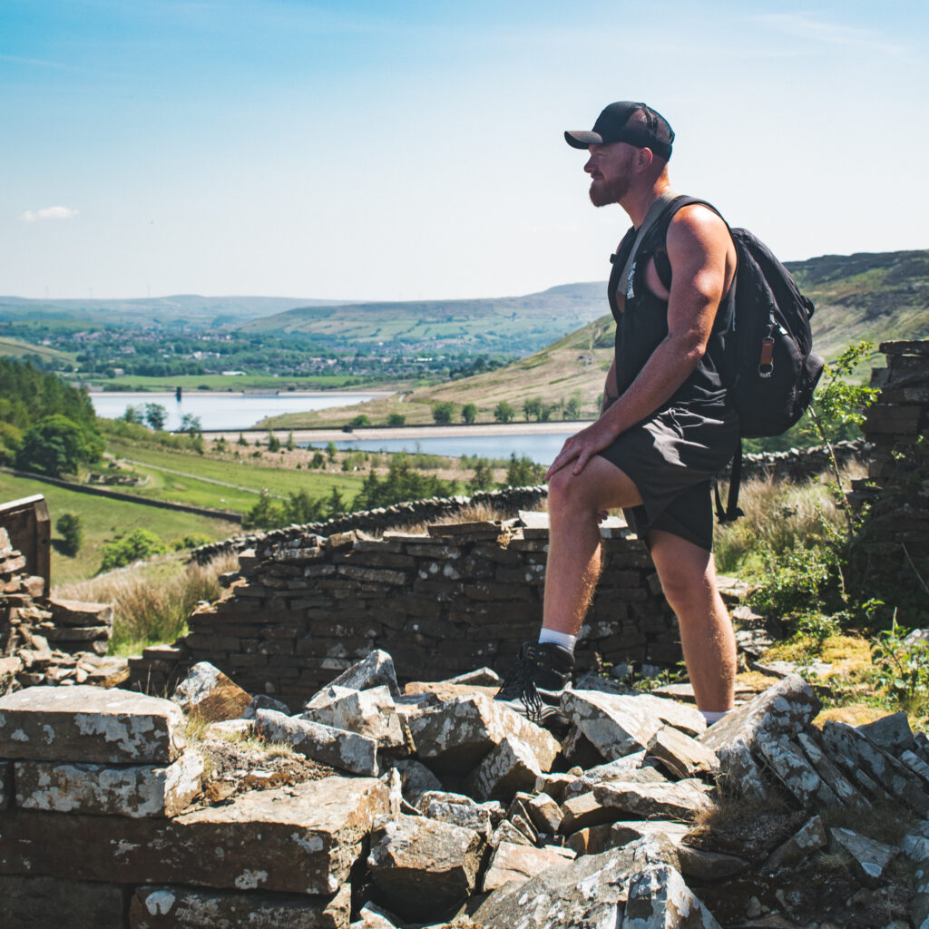
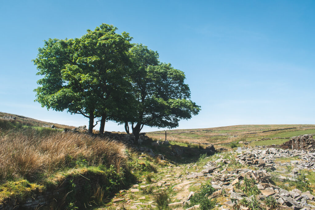
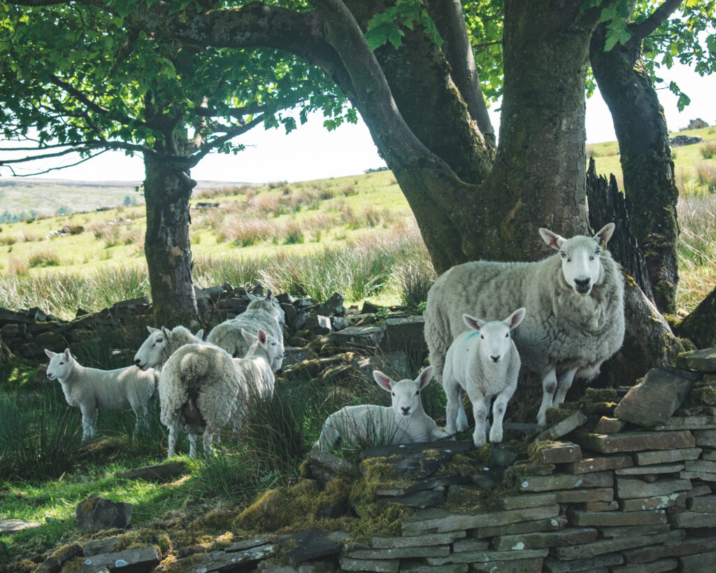
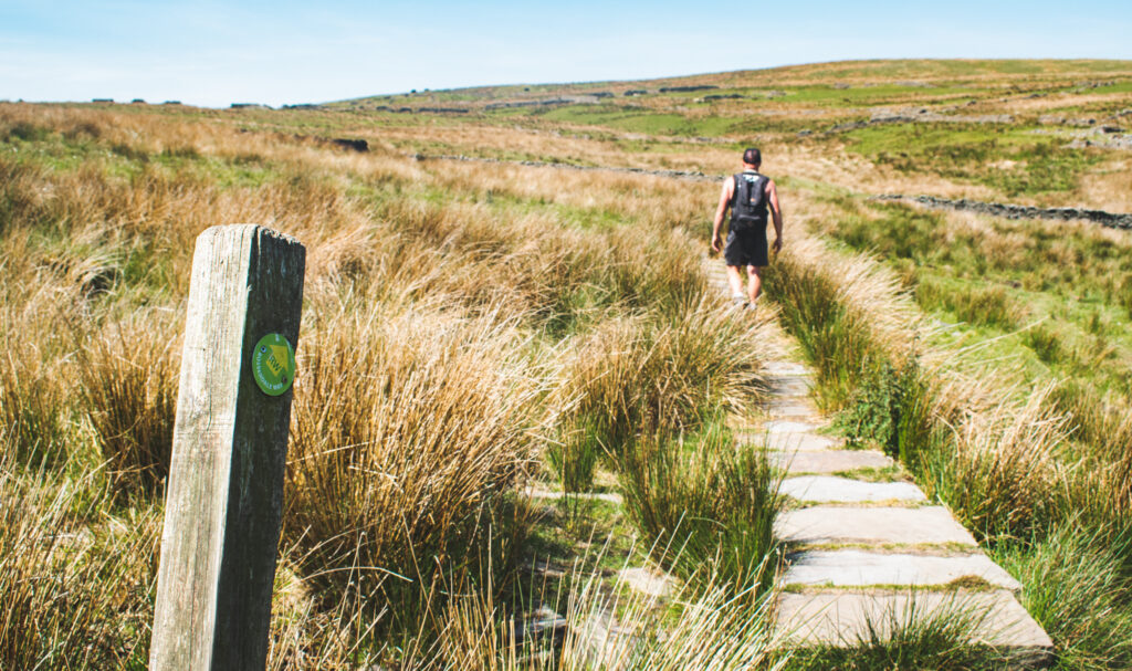
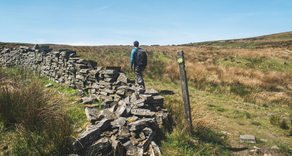
You can’t really see much of a road, but it is there! Turn left on this ‘track’ and continue to climb up through the fell.
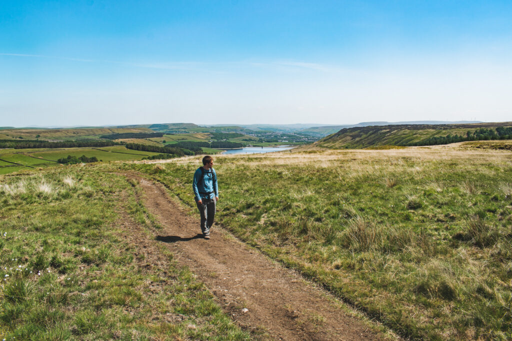
Looking back, we’ve come pretty far and seemingly moving further from our original starting point, with Calf Hey far back… We will be circling back around at some point don’t worry!
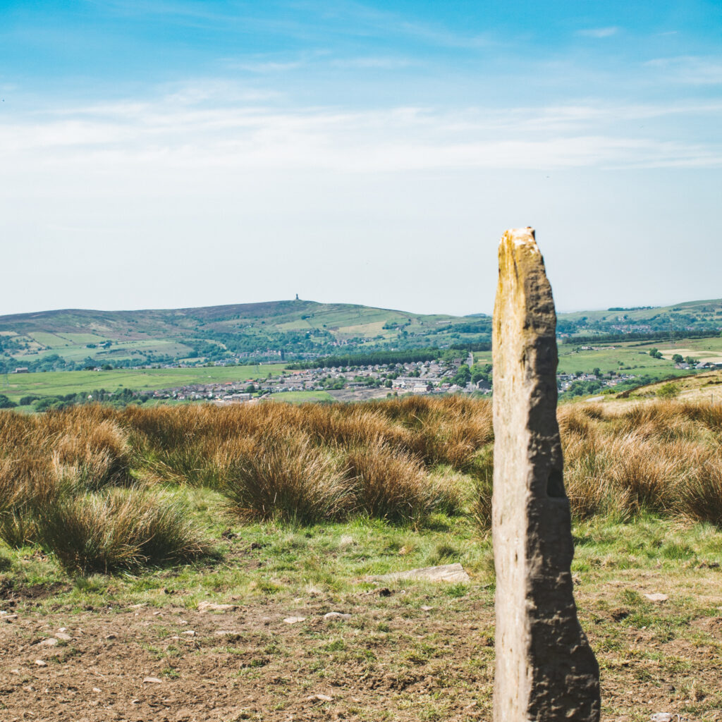
Eventually we will come across an old gate stone ‘post’ with a good chance of spotting Jubilee Tower in the distance (on a clear day). Turn left at this gate post.
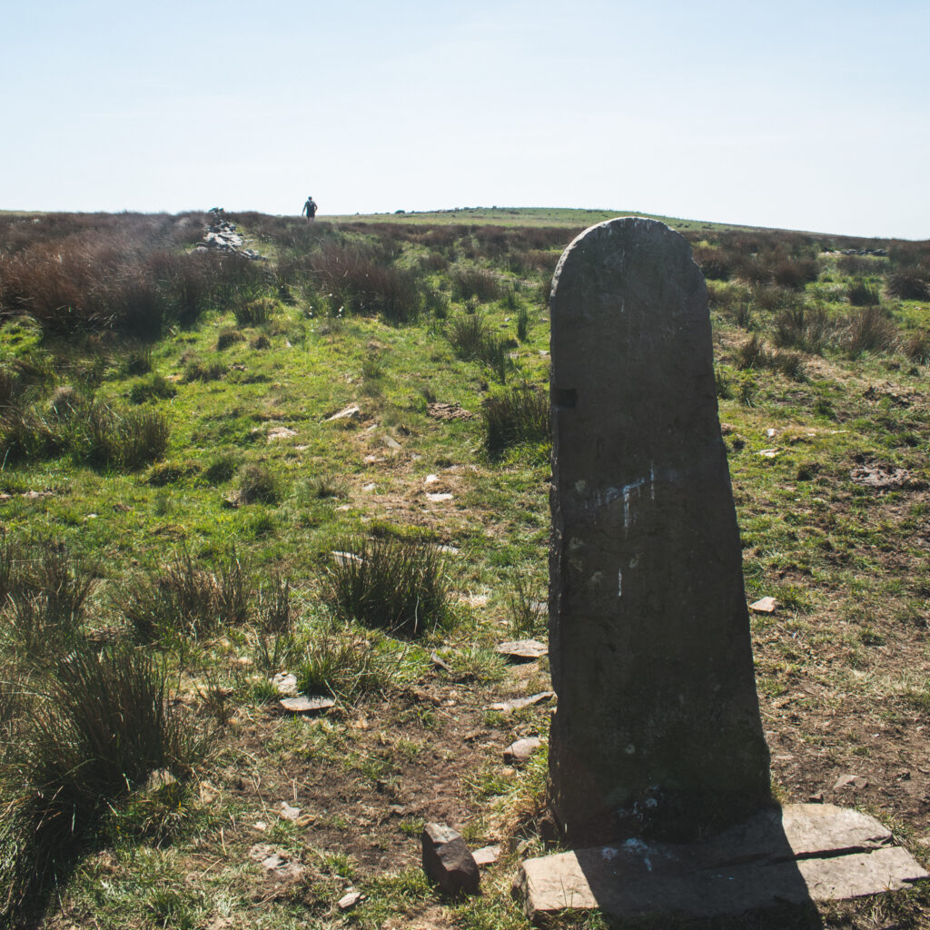
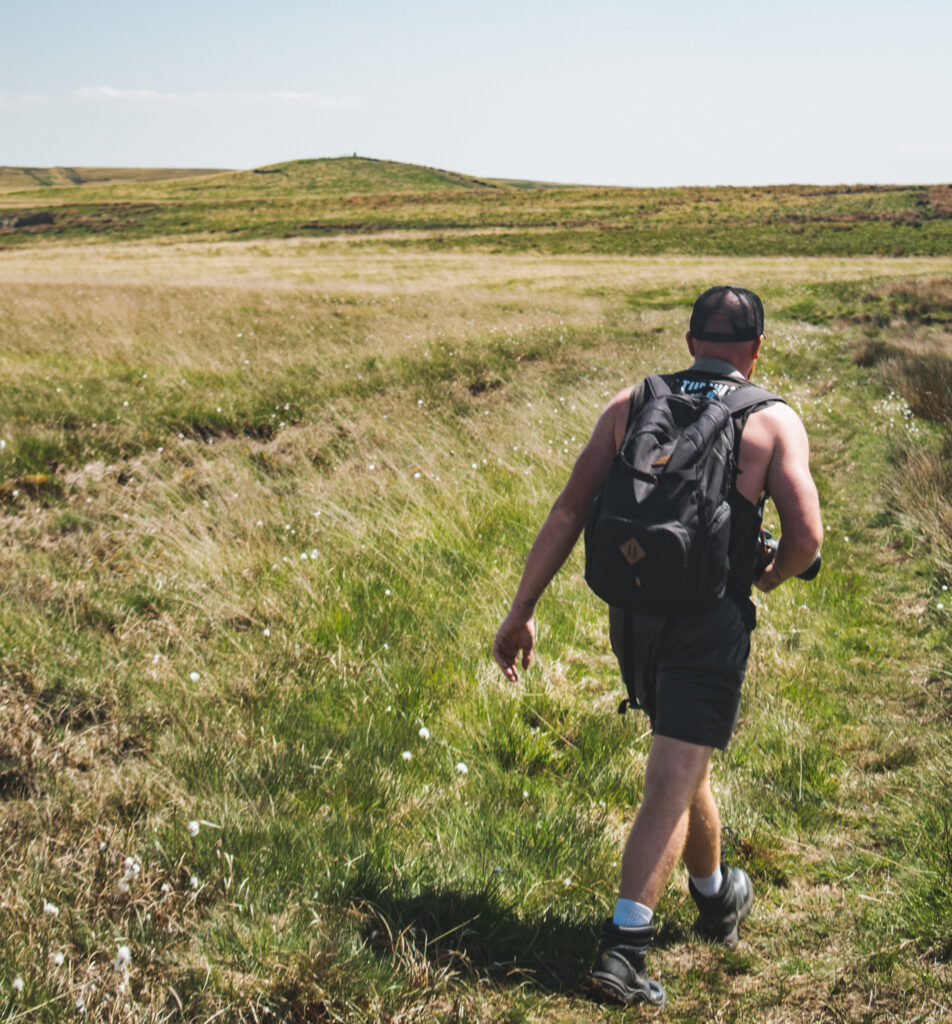
See the little hill / trig point in the distance? This is Hog Lowe Pike. Follow the lightly warn track all the way to our next check point.
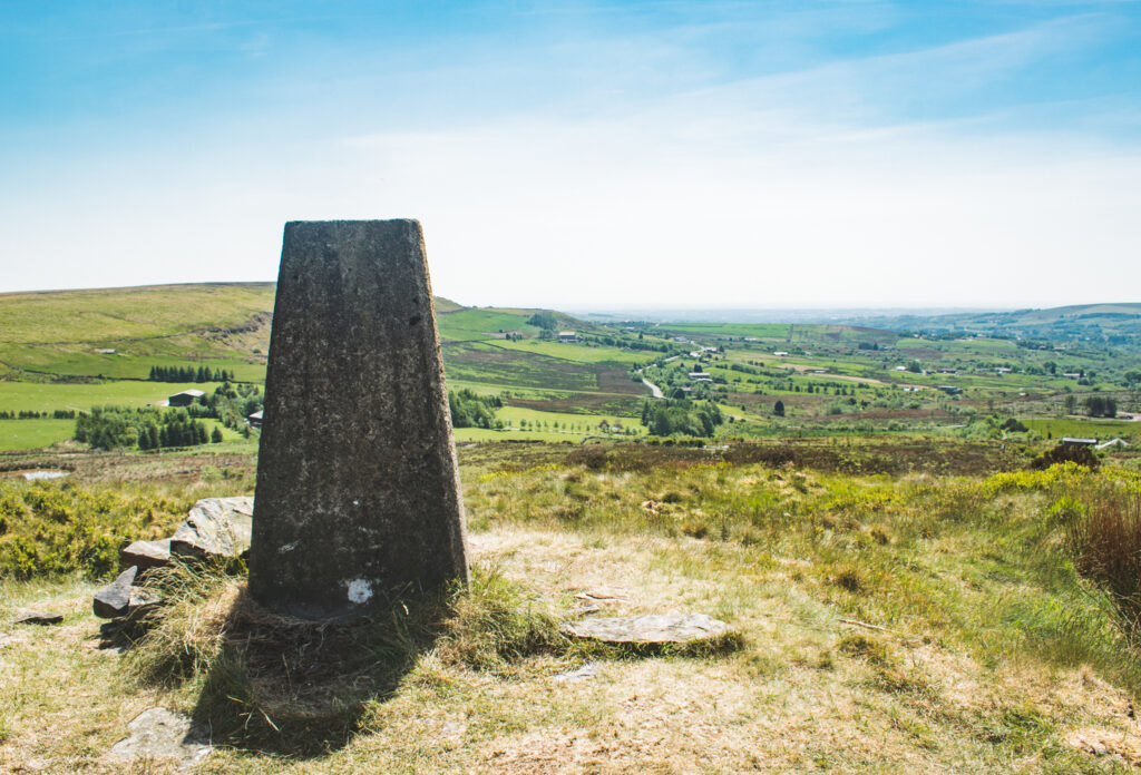
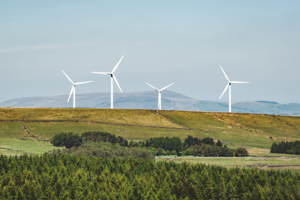
It’s not the highest trig point, but there are lovely views all around from up here.
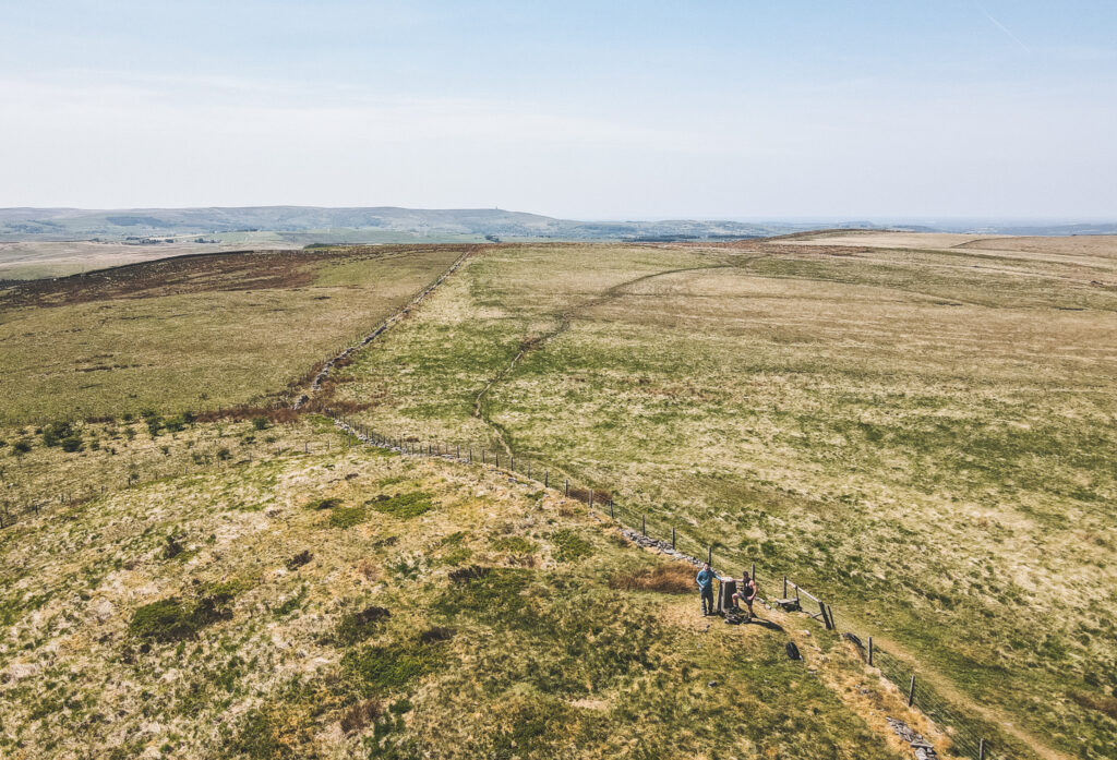
Take a moment; jump over the stile and touch the trig point (or take a selfie), grab a quick drink and hop back over the stile so we can continue our hike through the fell.
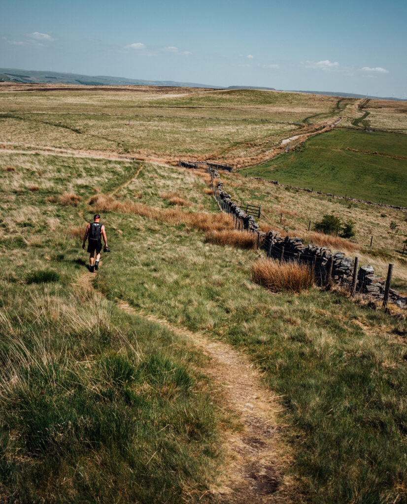
You should see the path heading way off following the fence line. Follow this for 0.7 miles. Do not take any left turns heading back down towards Calf Hey… we aren’t done just yet!!
Instead, follow along keeping right, until we spot the path bending around the fence line heading further into the fells. We won’t be heading too far up here, so watch out for the next turning…
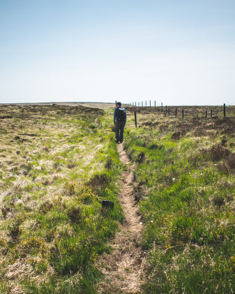
Once we reach this gate in the corner of the field, stay in the same field and simply turn left and KEEP LEFT, following a lightly worn path in the direction of Helmshore.
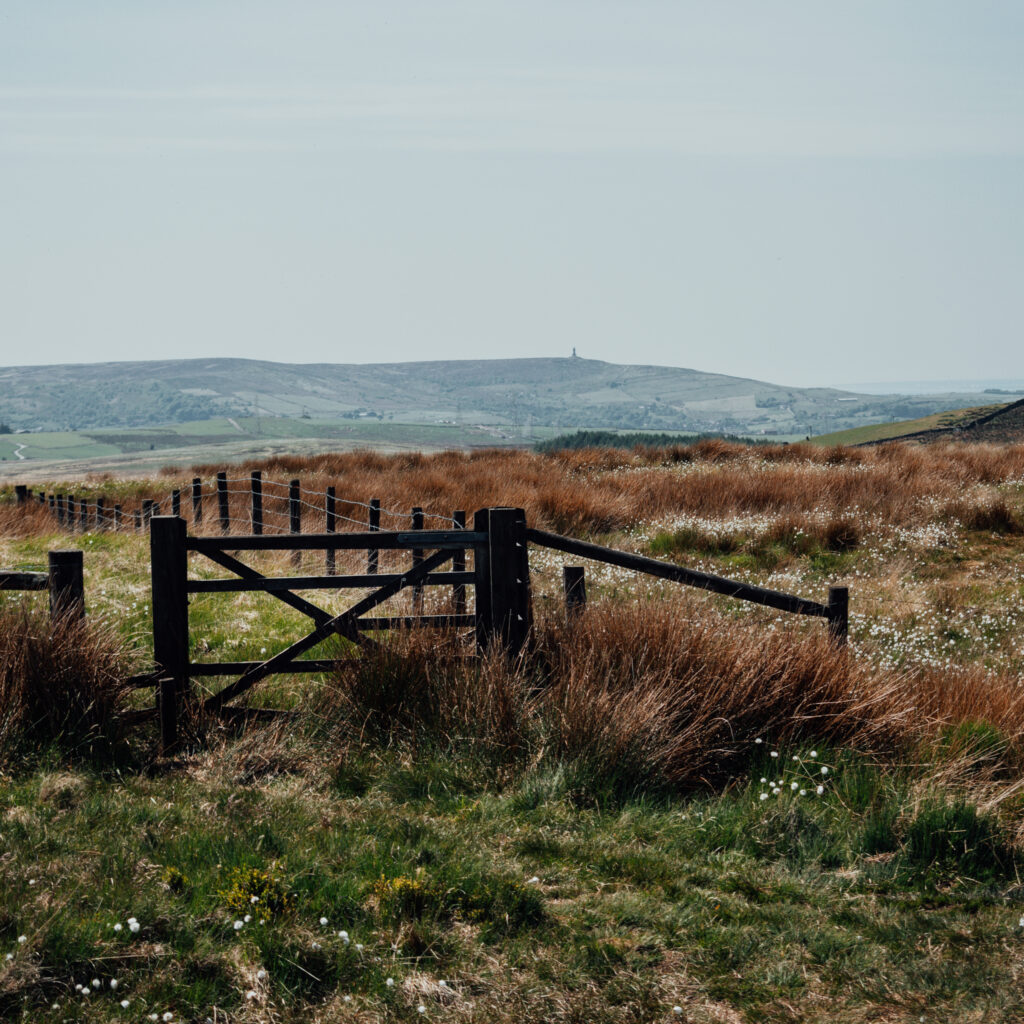
It’s important we don’t take the path which descends down into the valley towards Helmshore. Instead, keep to the hillside, heading towards and alongside the stonewalls, eventually passing through a gap in the wall.
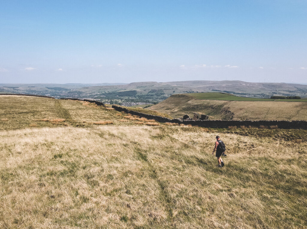
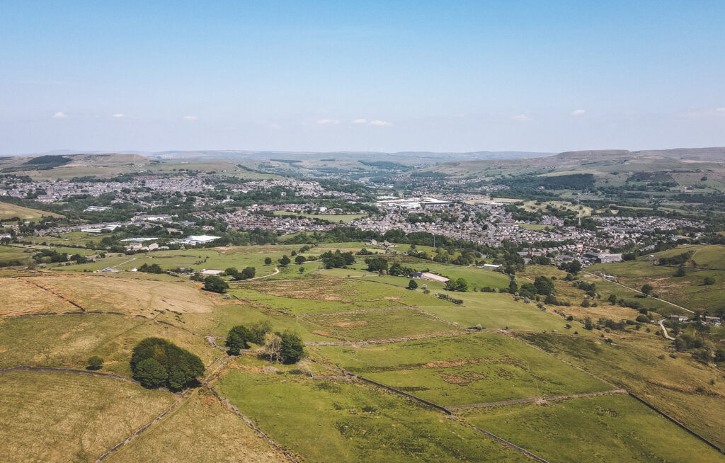
You might want to stop for a moment and enjoy the views once you pass through.
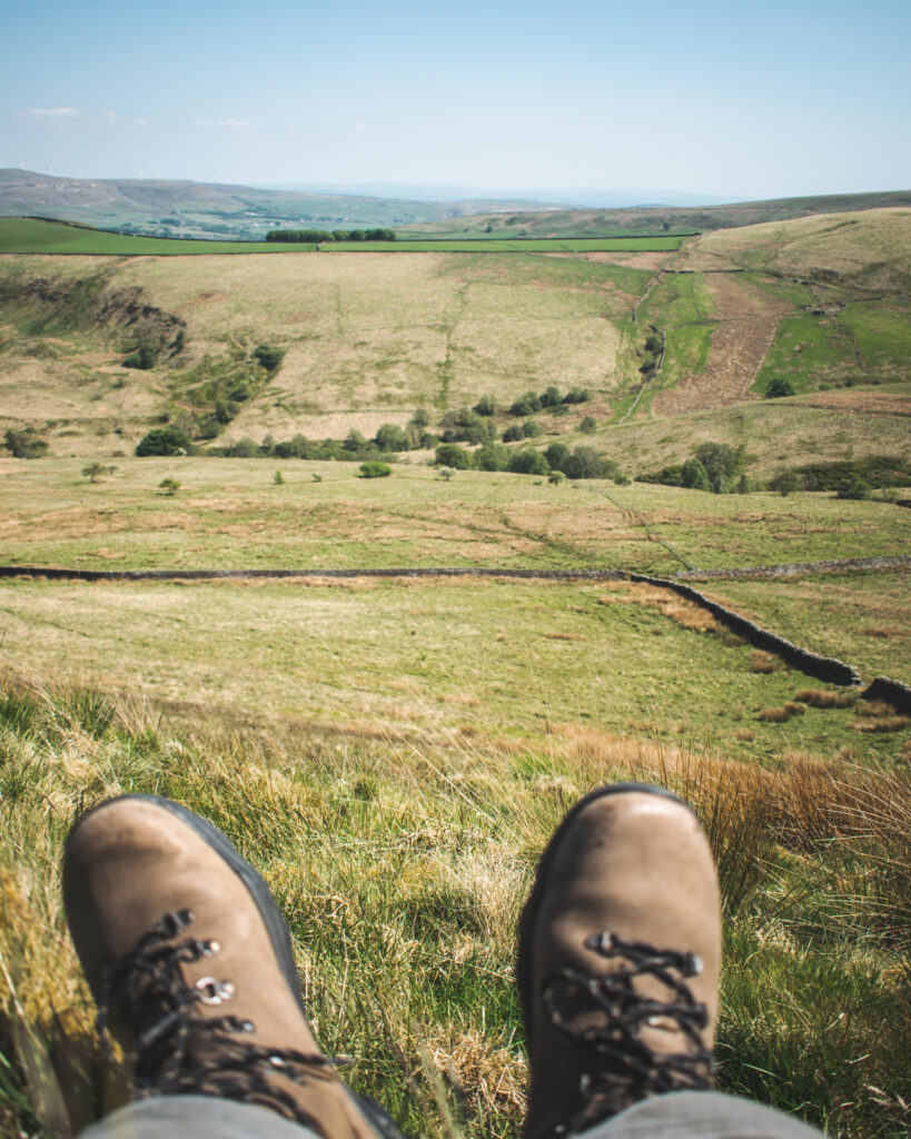
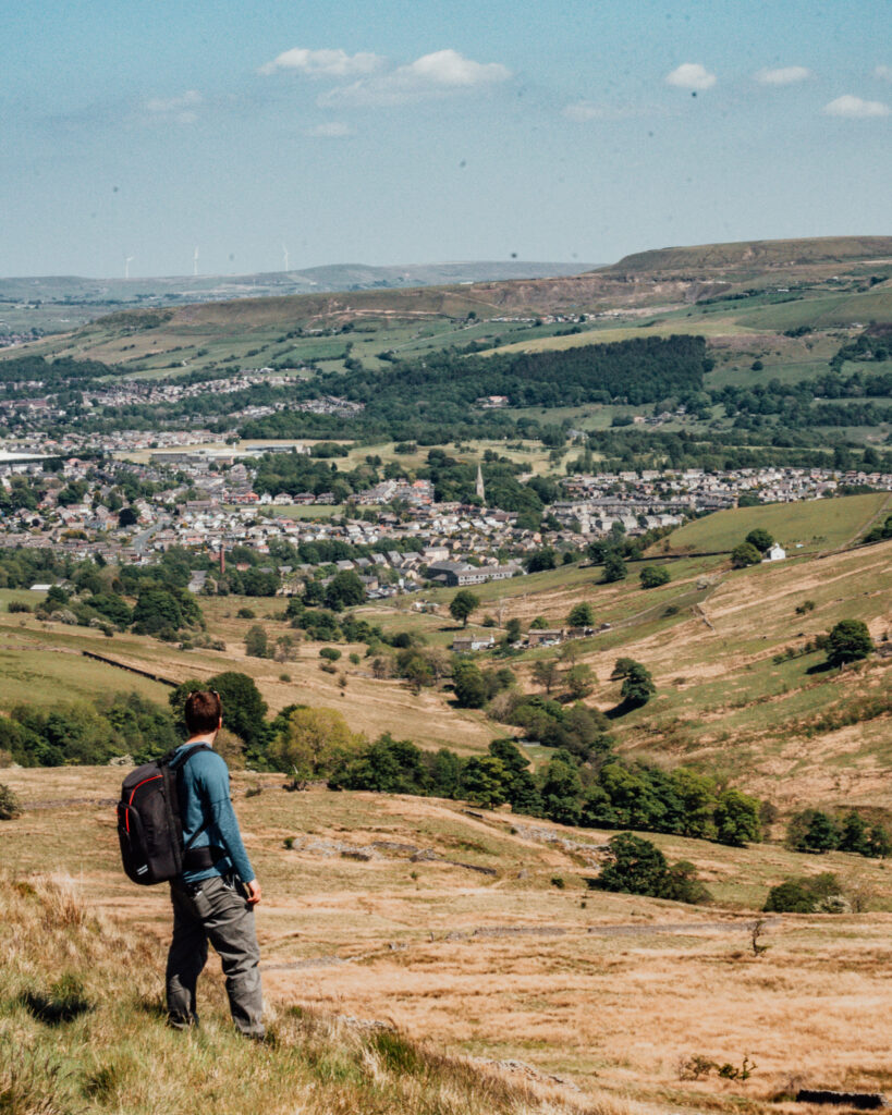
Ok, time to keep going…
We are nearly at Musbury Heights quarry!
Continue on the path through the field between the stone walls.
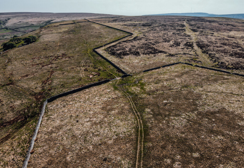
Eventually we will stumble across the extraction pits of the Musbury Heights quarry.
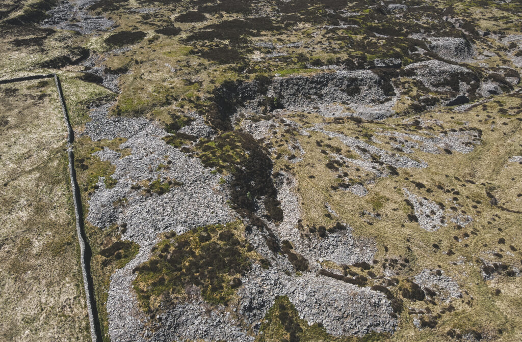
It’s not far from Calf Hey reservoir, just up the hillside. See our other drone shot below, featuring the quarry extraction pits and Calf Hey reservoir.
Pass through the quarry until you spot what looks like a small chimney peeping through a worn down walkway… head in that direction!
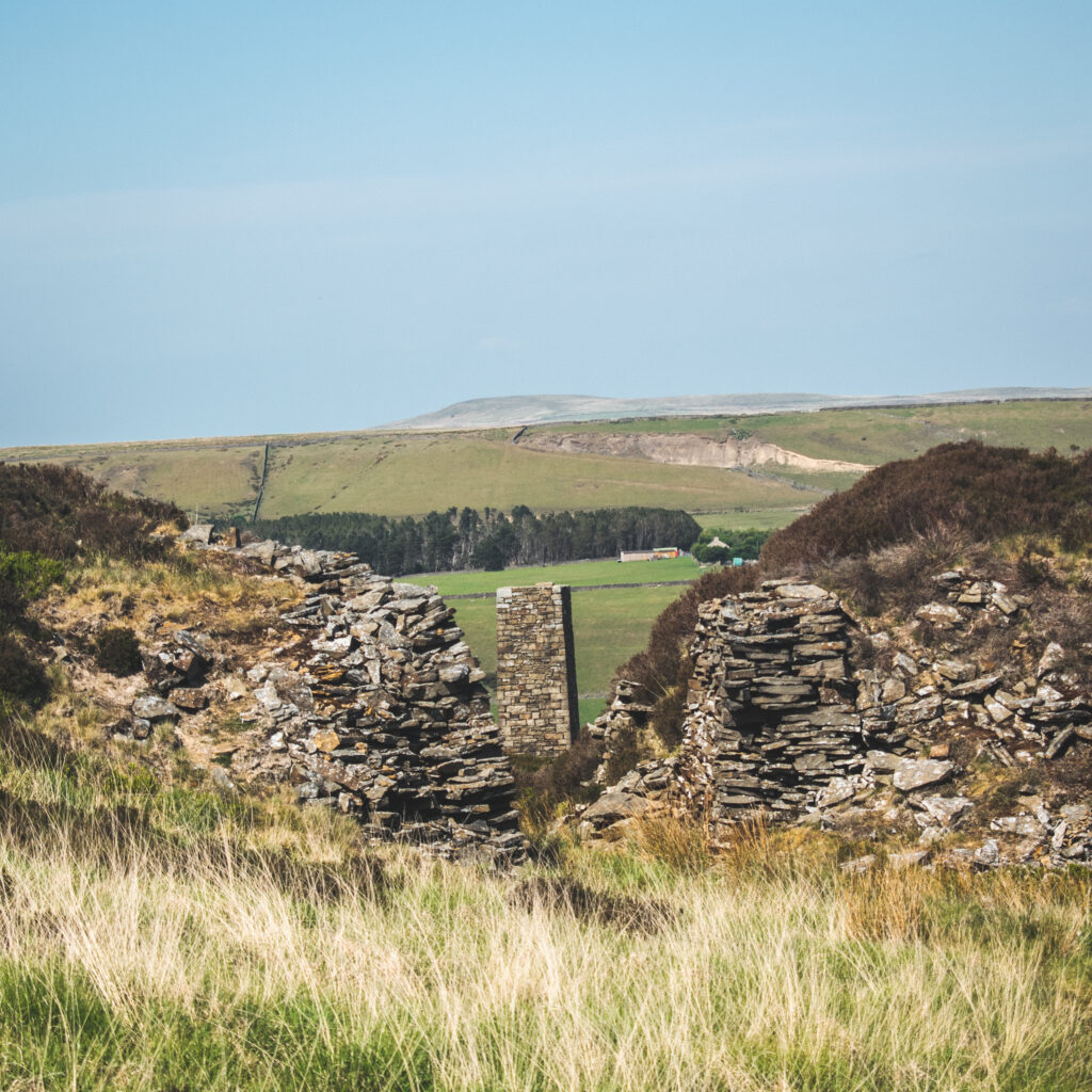
The chimney landmark is not as small as it might look…
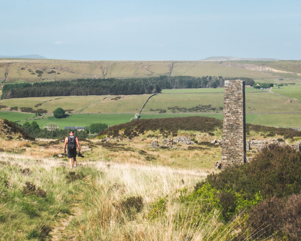
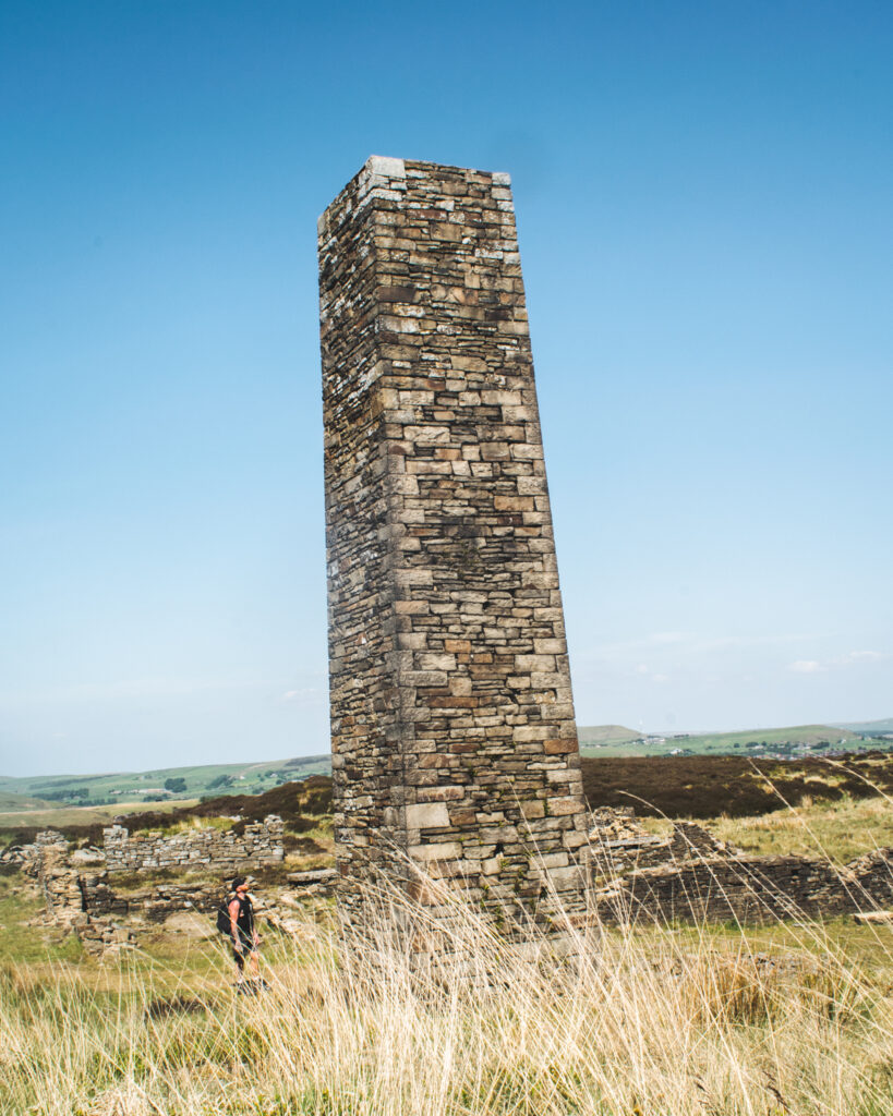
The scrubbing mill chimney was conserved with funding from English Heritage back in 2004. It’s well worth a visit to the Musbury Heights quarry.
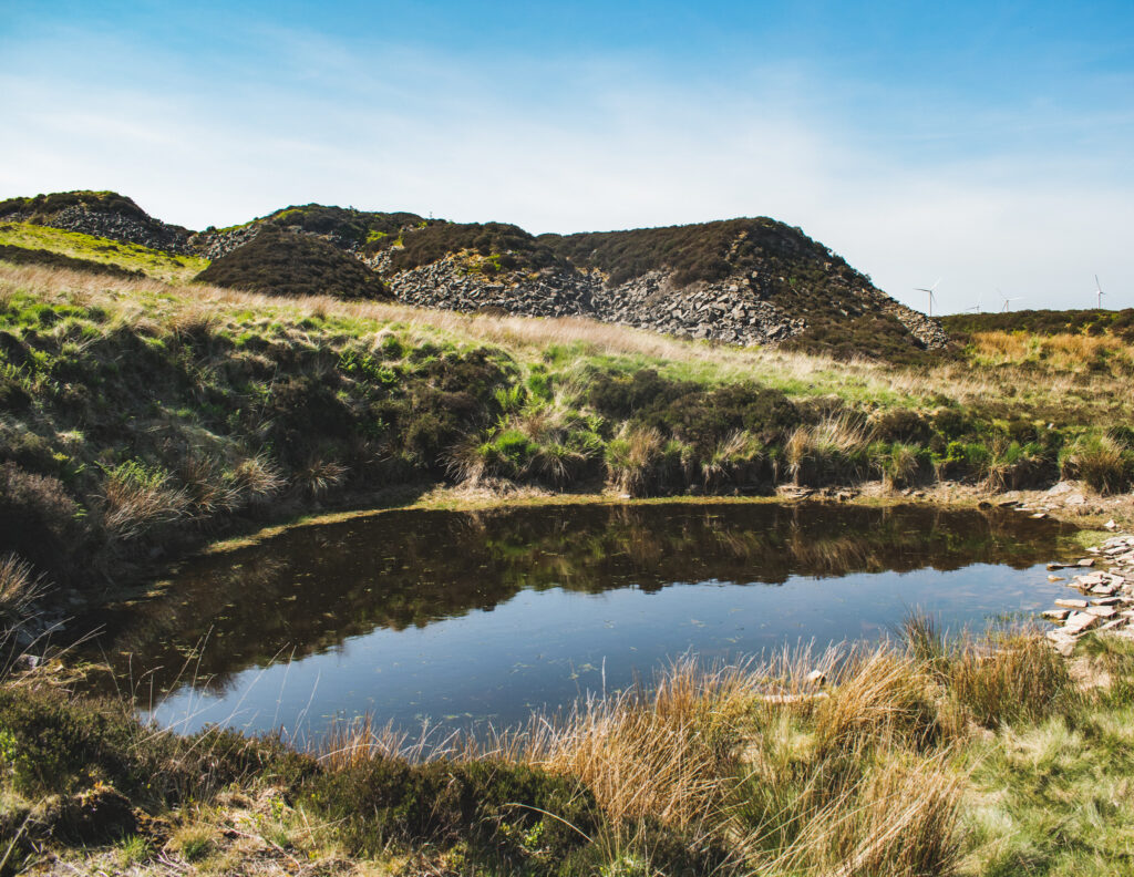
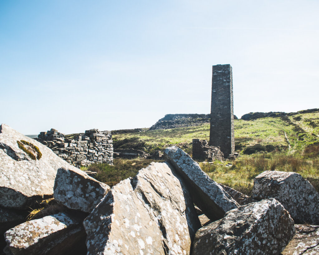
After taking a moment to soak in the atmosphere of what’s left of the quarry, it’s time to push on and loop back around towards Calf Hey reservoir.
Head past the pile of rocks in front of the chimney, the path going downhill. You should start to get a view of Ogden Reservoir in front of you.
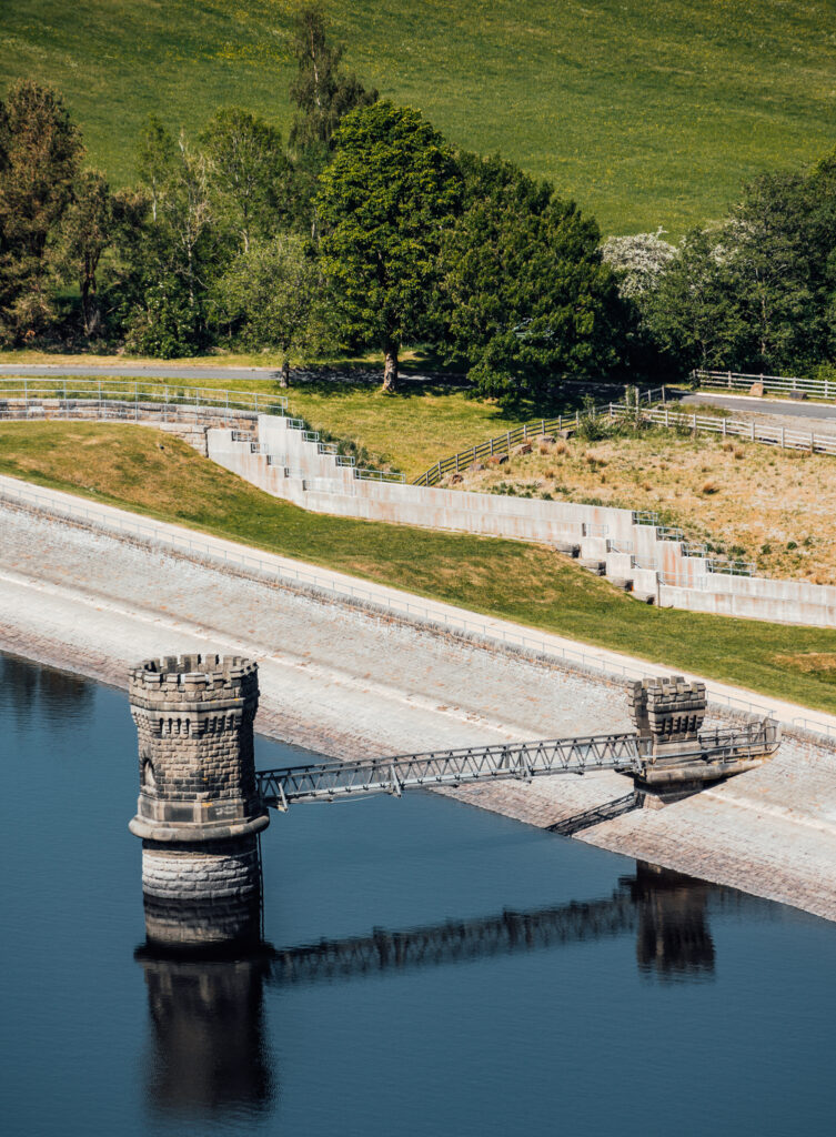
We were lucky to spot a fisherman on Ogden Reservoir, attempting to make his catch.
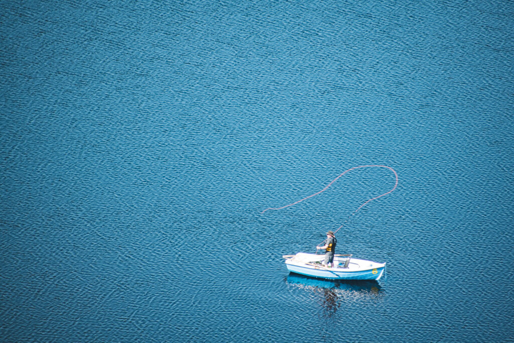
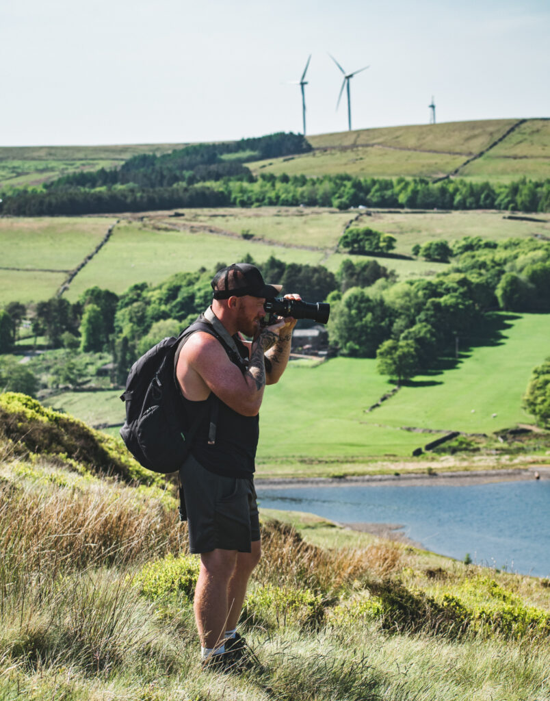
Keep descending down the hill. You should spot Calf Hey to your left. There’s two paths going off left, take the second (lowest) one, a clear levelled off trail, leading us all the way back to Calf Hey.
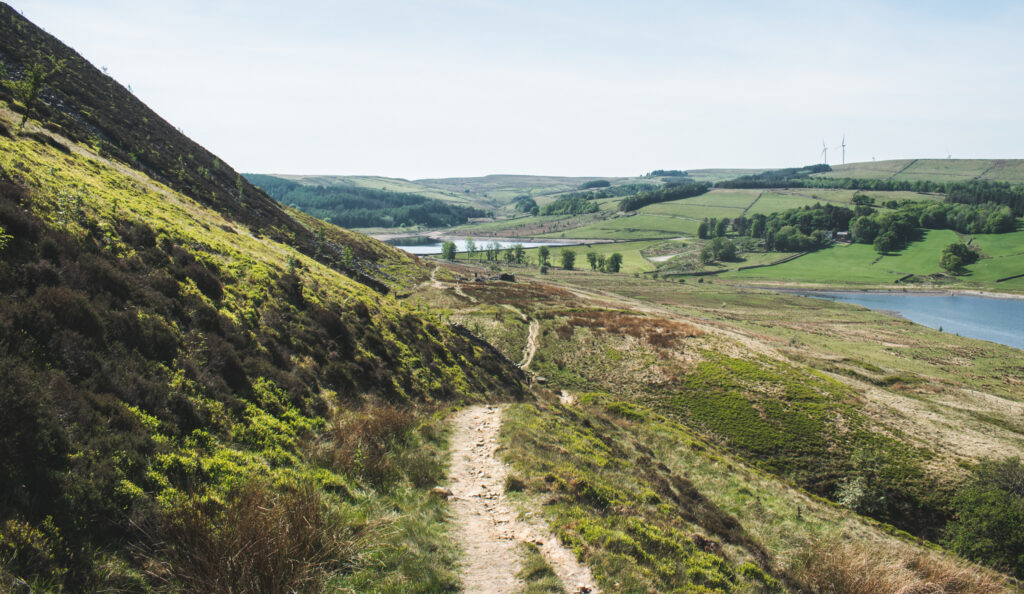
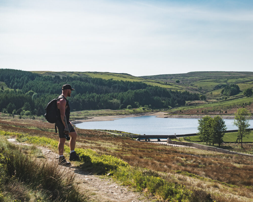
Once we are in line with Calf Hey reservoir (on our right), take one final descent past a big tree, down to the reservoir’s edge.
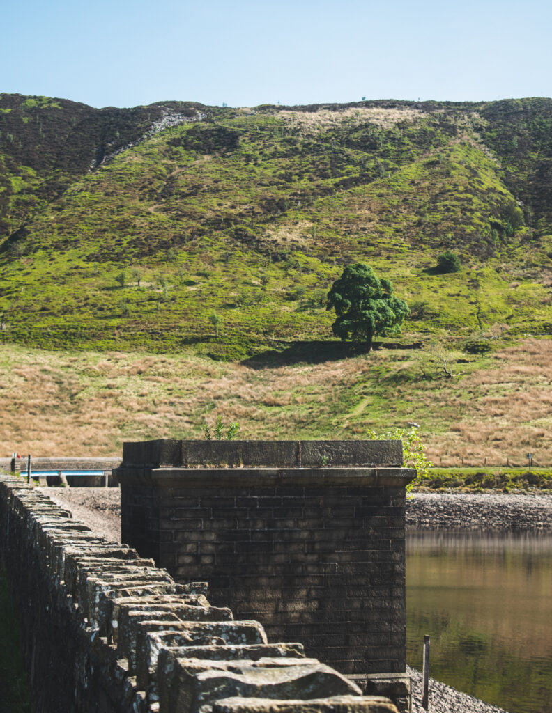
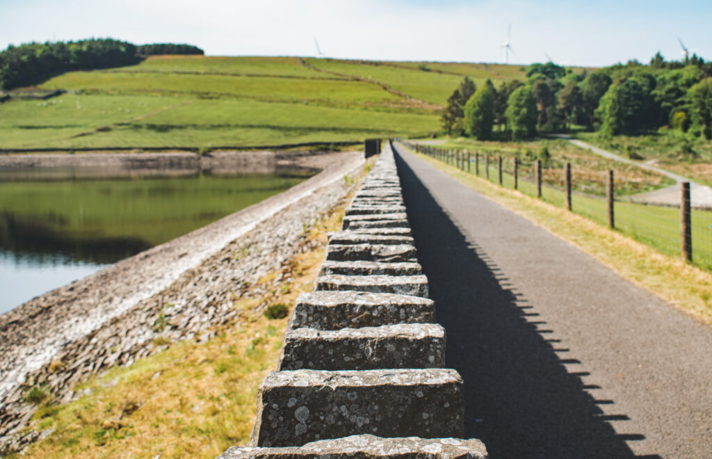
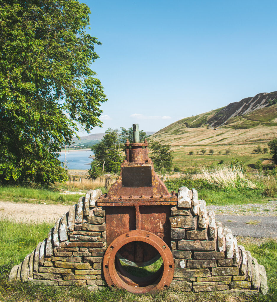
Head back up towards the carpark and that’s it!
This brings our Calf Hey Reservoir walk to an end. We hope you enjoyed the route with all it’s variety; from the reservoirs, to the woodland trails, rambling the fells to an abandoned quarry. This walk really does pack a lot in for just 5 miles!
Thinking of taking this on? Don’t forget to download our Viewranger GPS track to follow along as you walk, so not to miss any turns!
Be sure to leave us some feedback on the platform too 🙂
Discover our regularly updated walking films on YOUTUBE and do visit our @lancashirelads.life Instagram page for regular updates + behind the scenes content from our walks.
Finally, if this walk recommendation has proved useful, and you wish to support Lancashire Lads on our mission to provide more walks and coffee stops around Lancashire and beyond, you can now grab us our next coffee here to keep us fueled!



1 thought on “Calf Hey Reservoir (5 miles)”