Great views and hidden gems, Hodderbank Fell is a peaceful Lancashire walk under 5 miles in the heart of the Forest of Bowland.
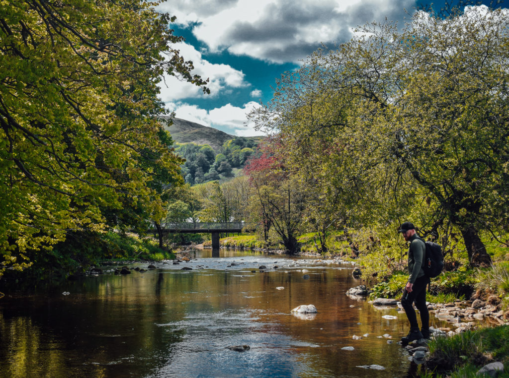
Hodder Bank Fell
Location; Dunsop Bridge, Lancashire
Distance; 5 Miles
Difficulty; Medium
A cracking fell walk starting from Dunsop Bridge, Forest of Bowland.
Download the Outdoor Active App below to follow our interactive GPS map… never get lost on walks again!
Not sure what to expect from the Hodder Bank walk?
Watch our short Hodder Bank Fell movie below.
Hodder Bank Fell
We recommend parking up at the main carpark (pay and display) where there’s the added benefit of public toilets for pre & post hike. Our recommended coffee shop (Puddleducks Tea Room) is just next door too.
Parked up? Happy days! OK, let’s begin the walk…
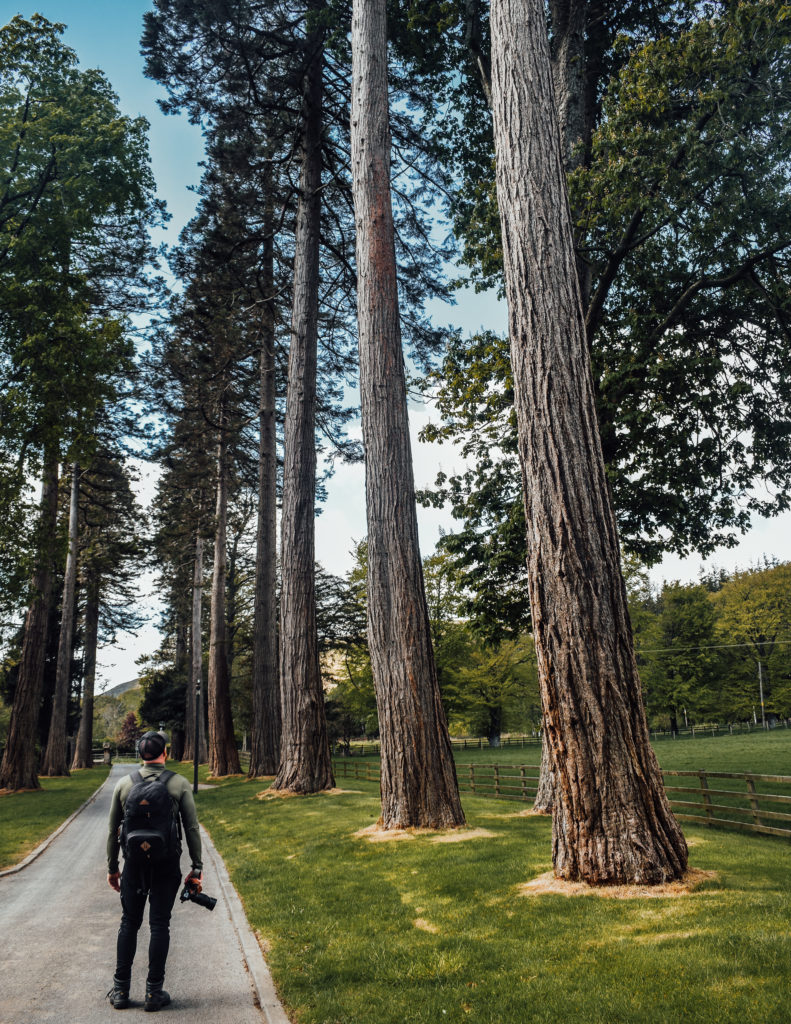
We firstly need to turn left out of the carpark, heading down the roadside. As we approach a bend in the road, you will notice grand gates (always open), with large trees heading down what looks like a private entrance. Proceed down this lane until you arrive at a bridge crossing.
At the end of the bridge, DON’T MISS the little gate on the right. Pass through this gate and head down the backside of the farm with the river on your right.
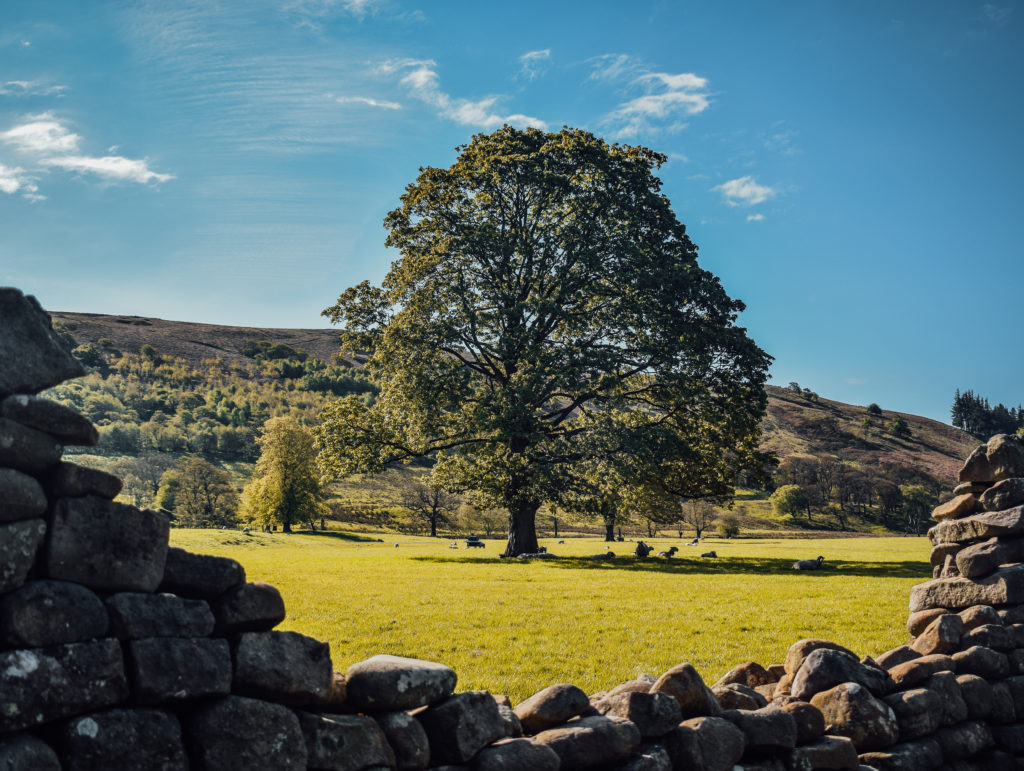
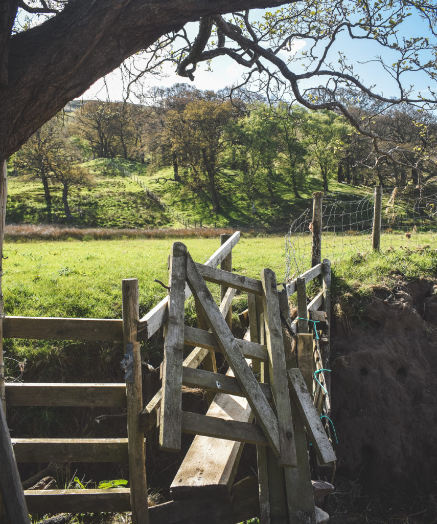
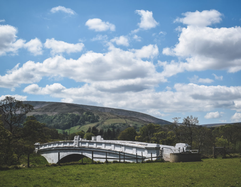
After half a mile of rambling by the rivers edge, with farm life all around and a rather suspect swing gate (see below) we reach another bridge.
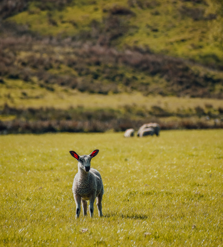
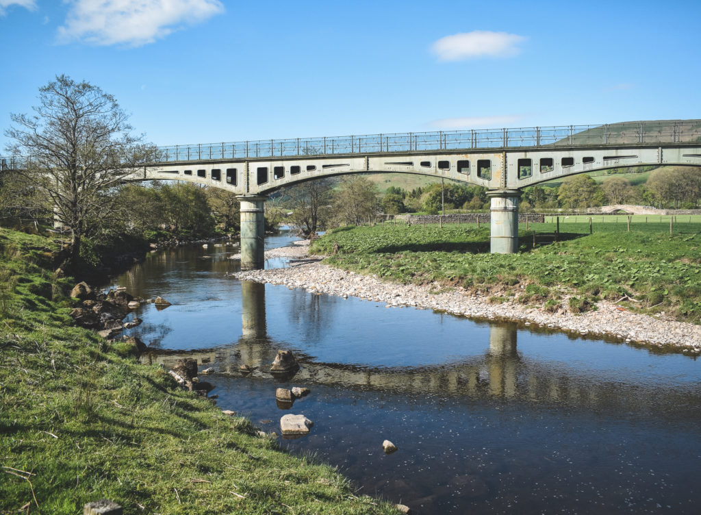
We aren’t crossing this bridge, it’s just a point of reference for our walk. Instead, continue to follow the river for another half a mile until we pass a small woodland on the left.
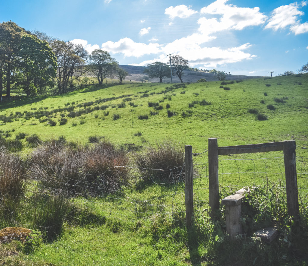
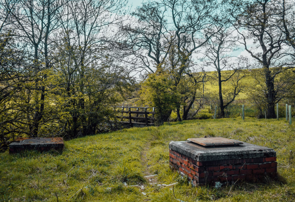
Proceed a little further beyond the trees and begin to climb the small mound in the land, bending slightly left. Keep a look out for a farmhouse in the distance with gate entrance to the field, with a bridge crossing a stream.
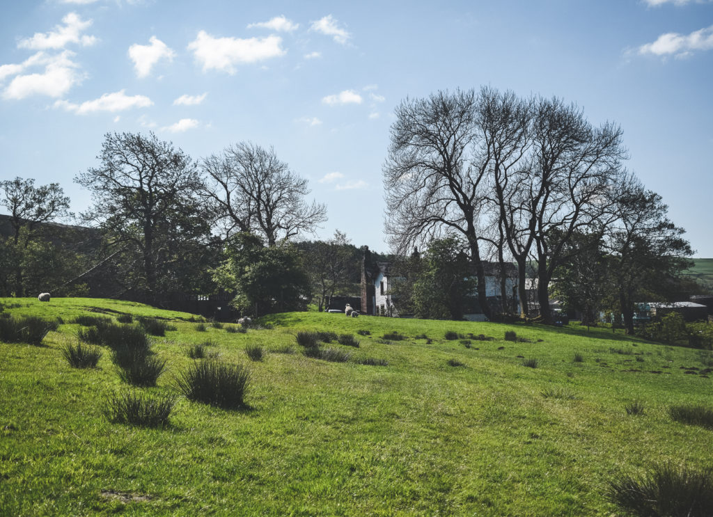
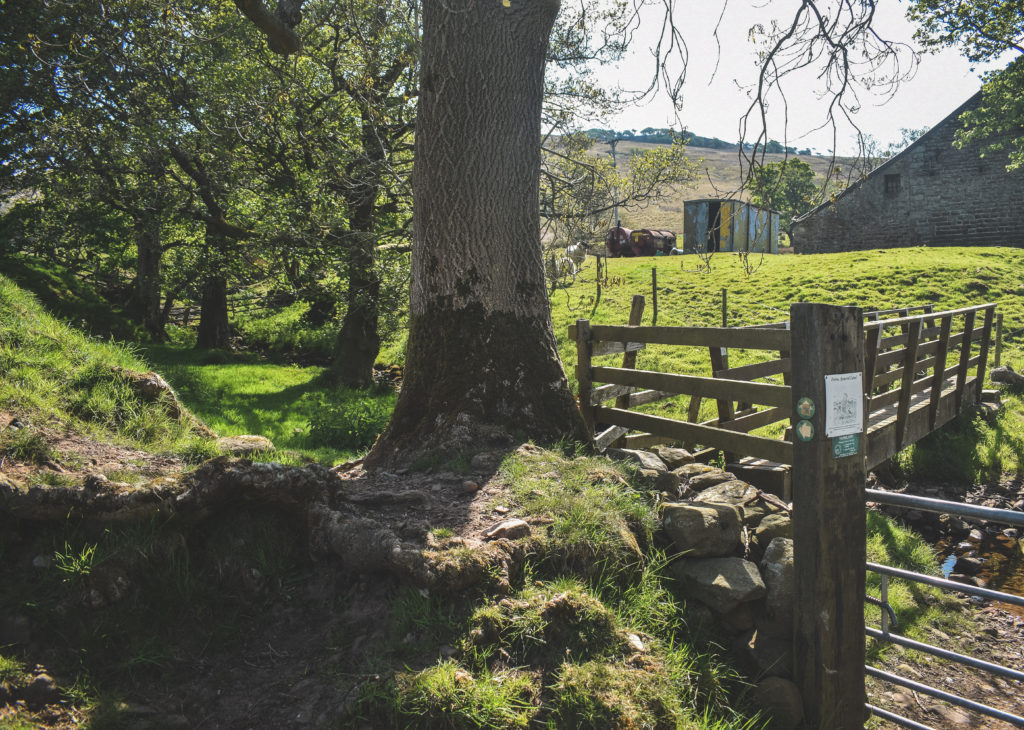
WAIT! We won’t be crossing this bridge. Instead, notice the arrow pointing left? Let’s REMAIN in this field and walk by the stream, climbing slightly uphill towards Hodder Bank Fell.
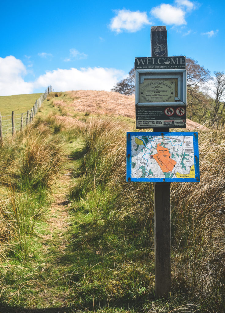
We aren’t climbing for long here. It levels off within 1/4 of a mile or so. Hodder Bank fell doesn’t really have a summit / official view point, instead the public footpath passes through the lower part of the fell.
Saying that, you won’t be disappointed by the views looking back from where we started the climb, or what lies ahead, further along the path…
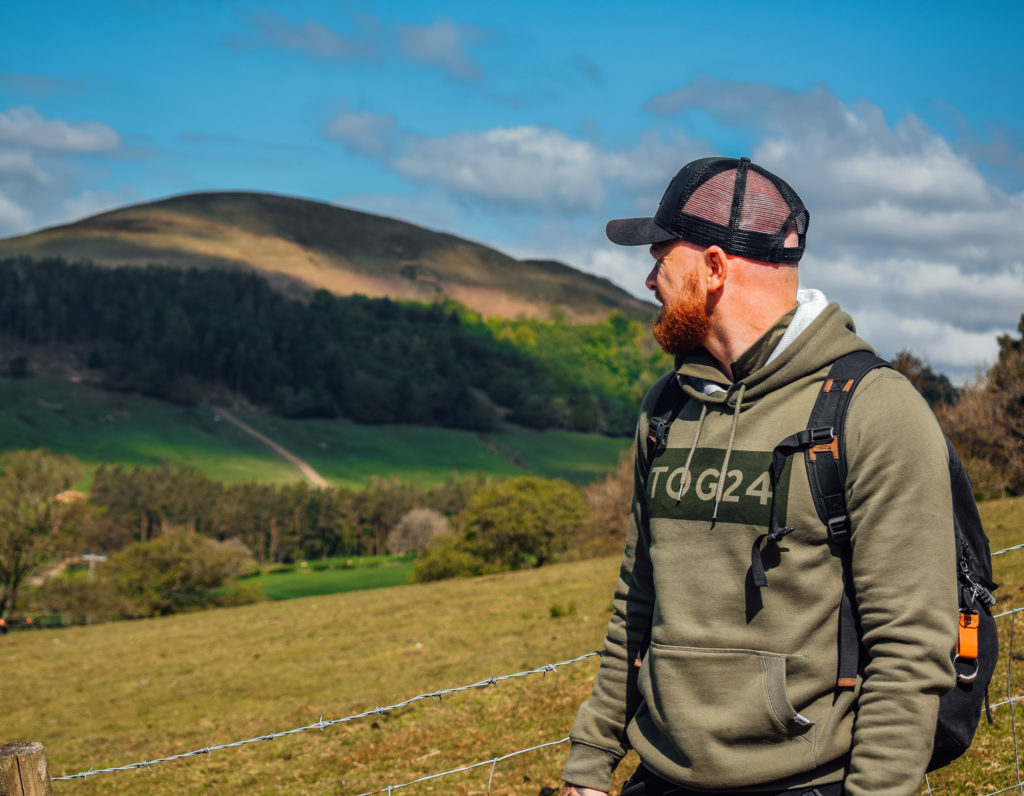
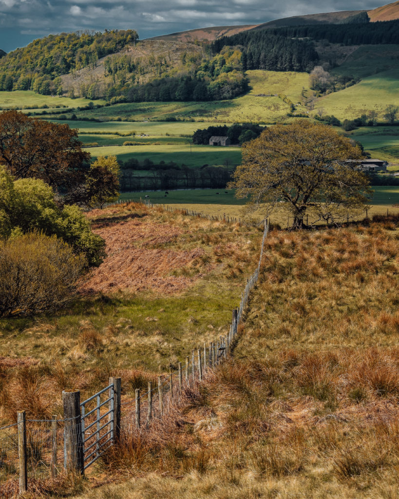

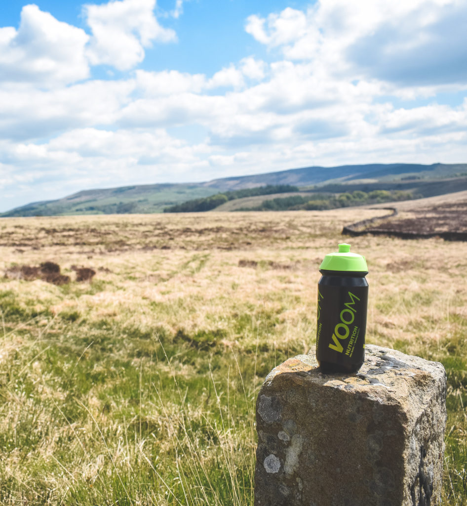
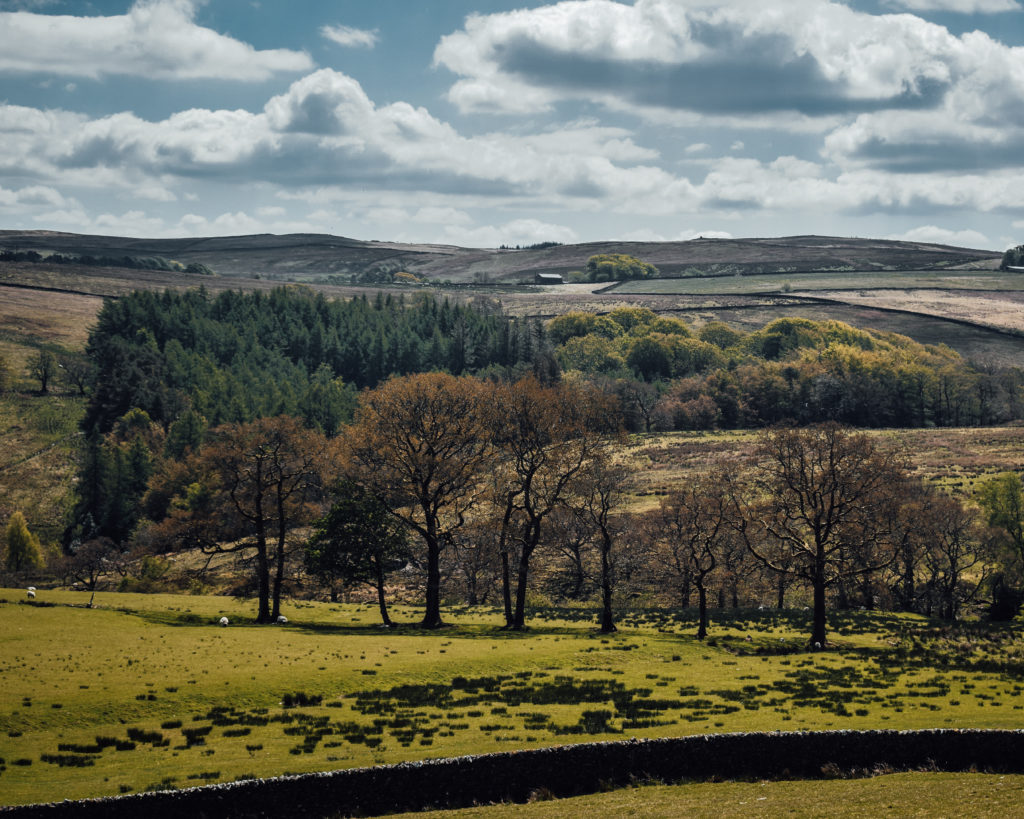
Eventually, you will be met by a gate with a view… proceed down the hillside and past the beautiful old barn to your right.
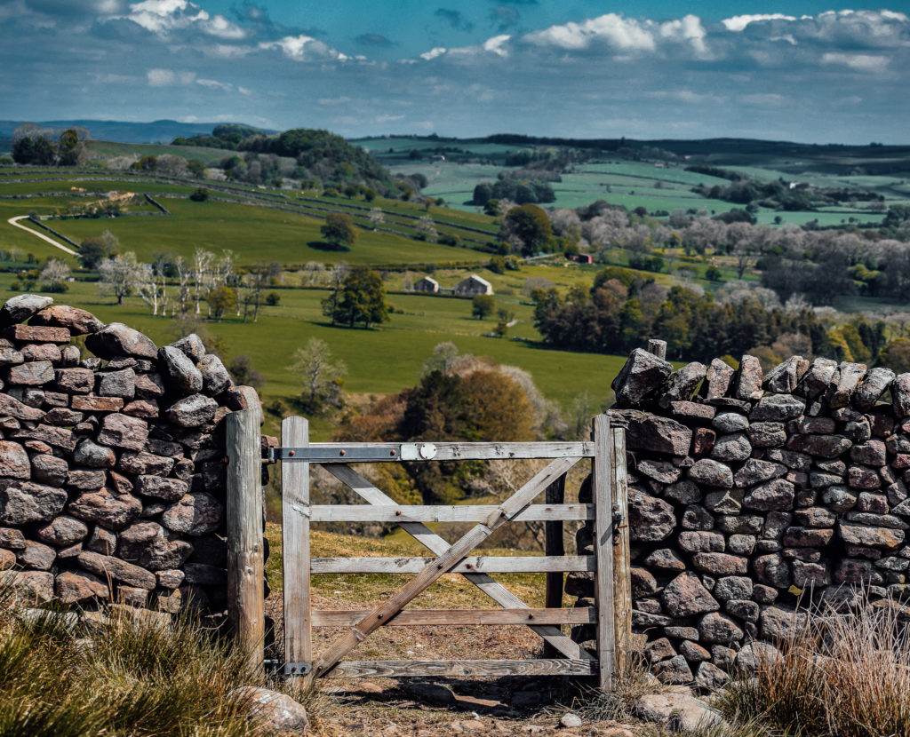
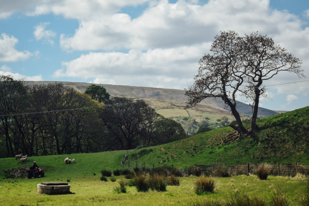
Continue to the road, carved through the middle of a farmers field. Expect sheep here, so dogs on leads if they aren’t already!
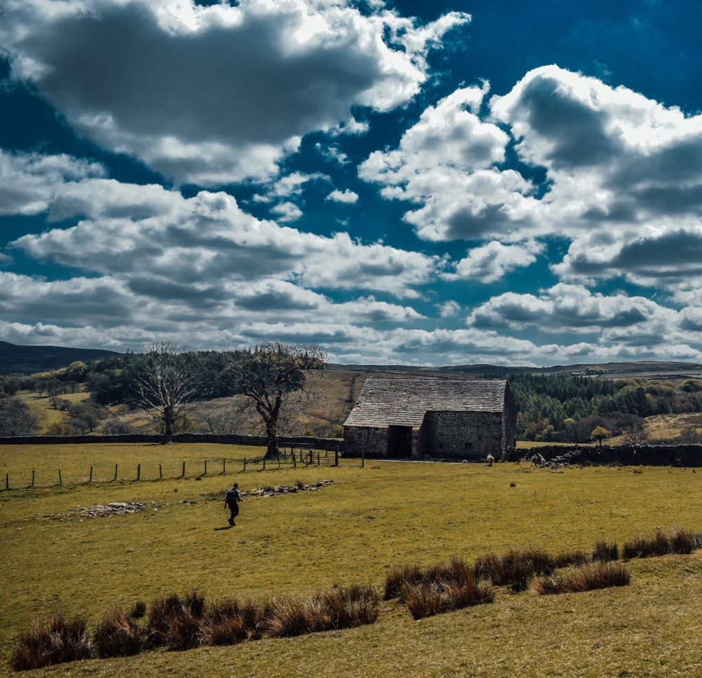
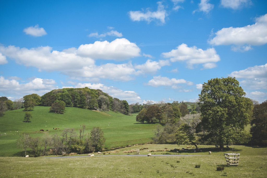
You won’t believe the incredible house this leads to!! A rather private, hidden gem located in the Forest of Bowland.
I wonder who lives here????
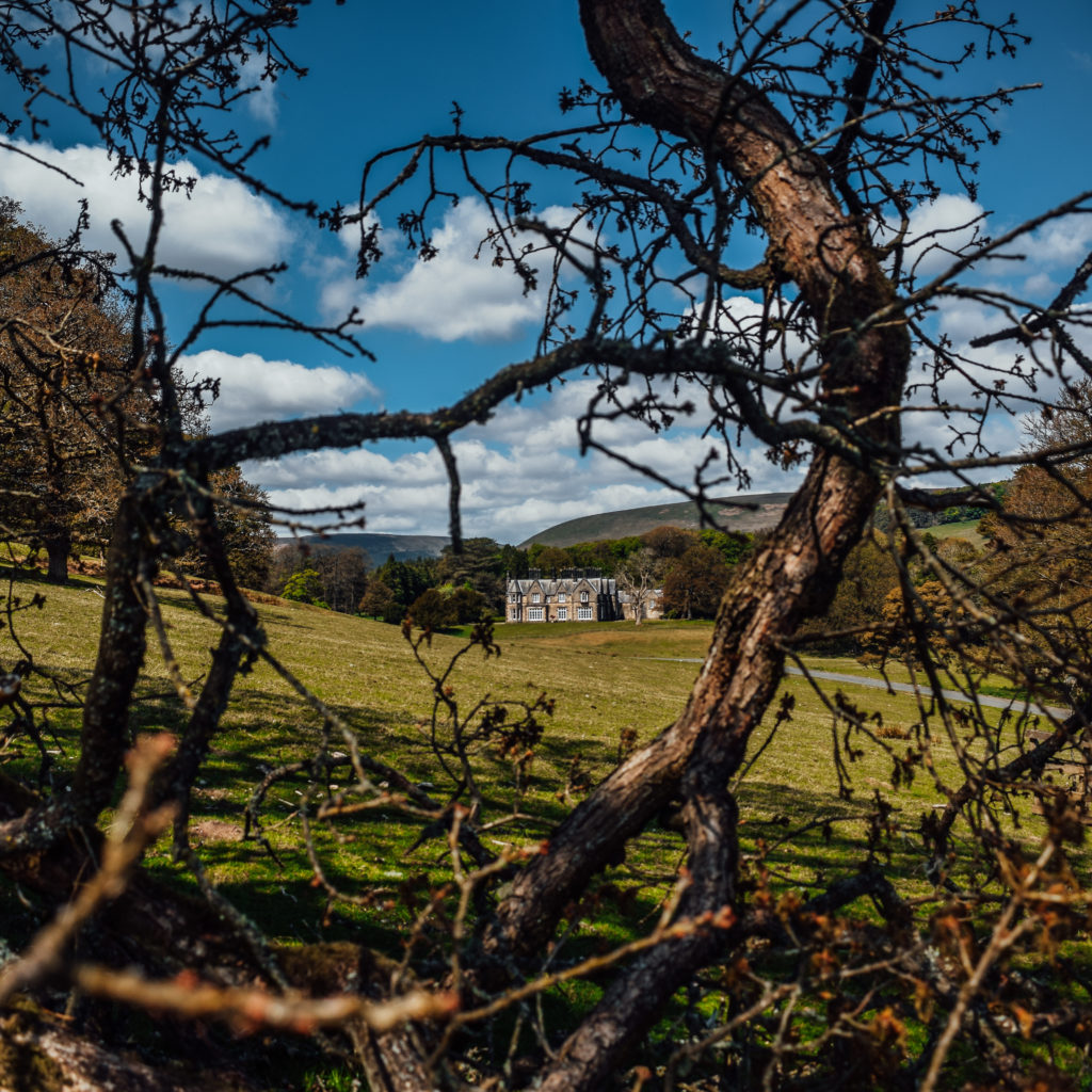
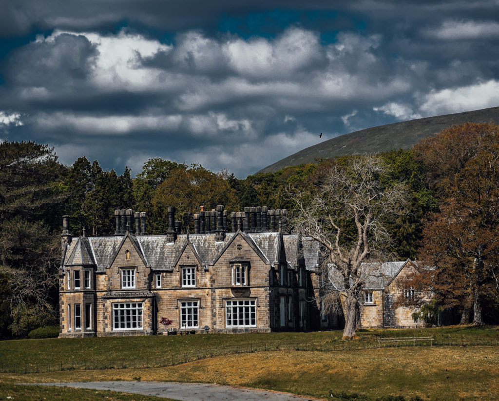
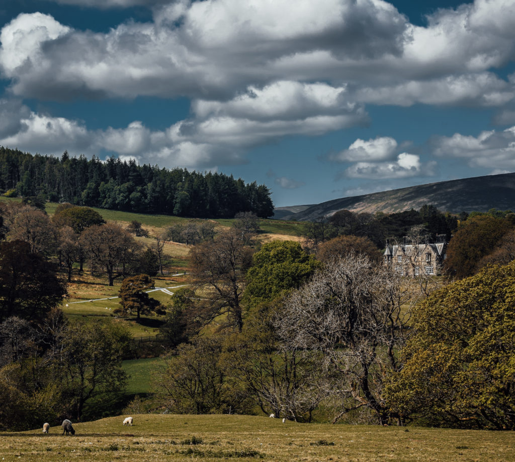
We don’t actually walk down past this beautiful building, instead we turn right on the road, under the tree canopy, keeping left for around 300 yards or so.
Eventually, you will notice a public footpath sign, pointing back down towards the river. In the distance, you may spot the swing bridge crossing… enter the field and head there!
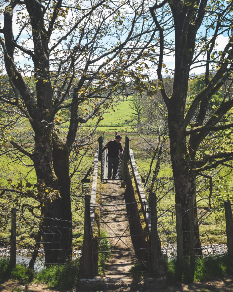
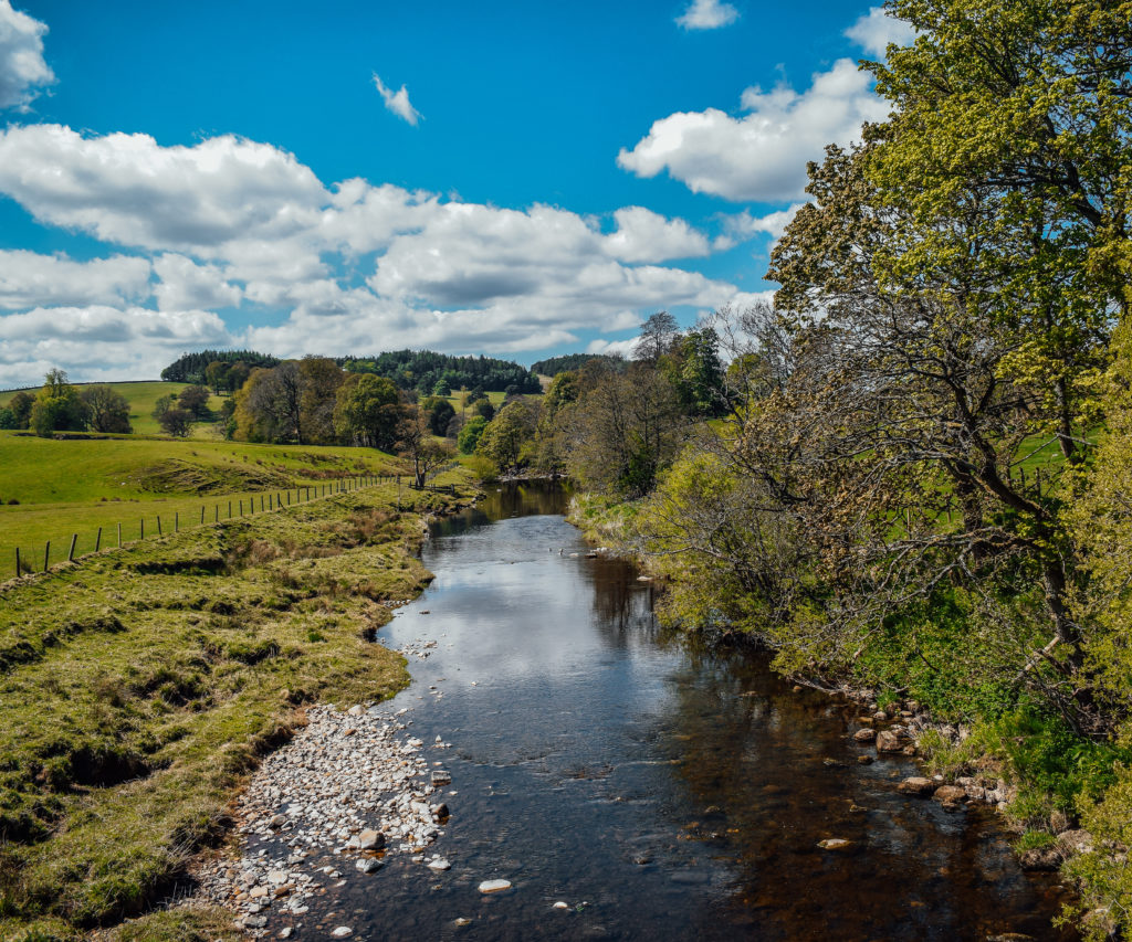
After crossing the shaky bridge, proceed through the next field, up towards the small hill / mound, packed full of trees (look 11 oclock if that helps). You can’t miss it!
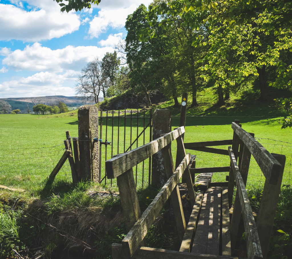
Walk around the mound, to the right. You may notice an old farmer’s track heading off to your left… DON’T TAKE IT!
Instead, continue to walk / look ahead and you should notice a bridge crossing. The above image was captured from bridge looking back.
Continue straight until reaching the roadside…
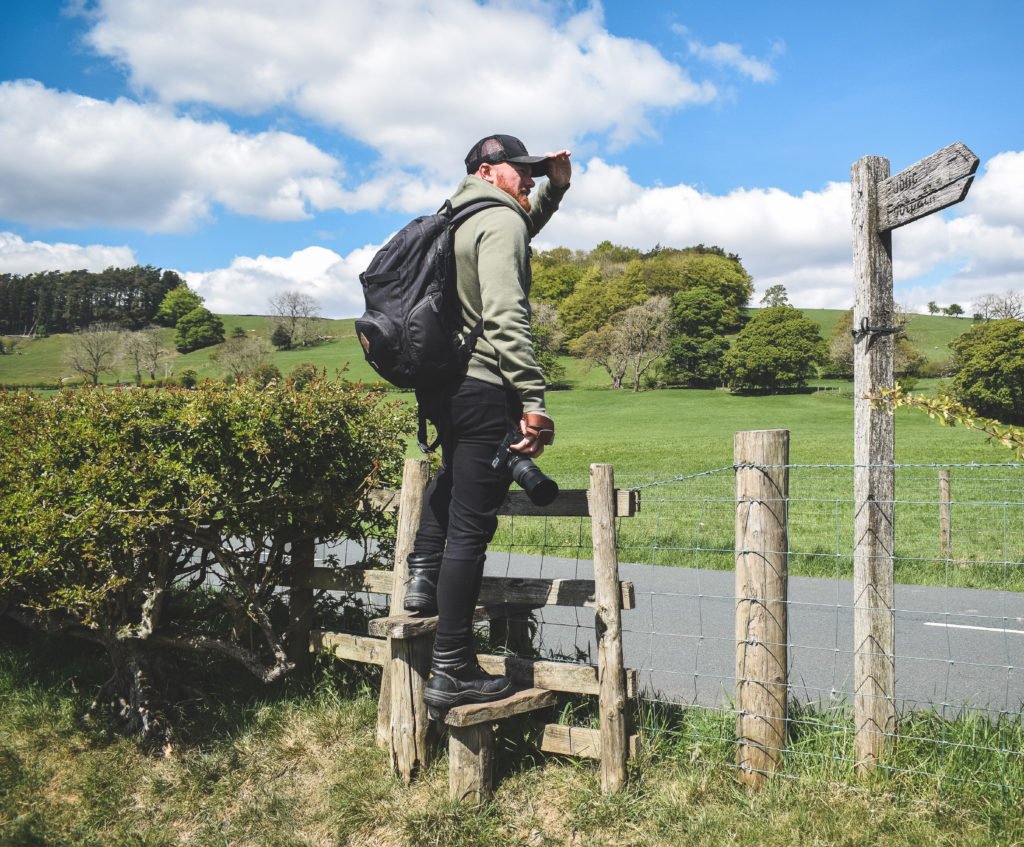
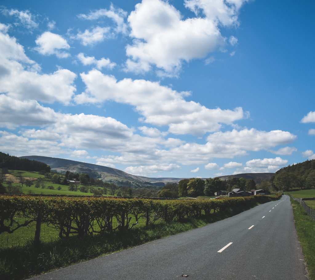
We will be keeping to the road now for 600 yards (1/3 mile).
Keep your wits about you, although relatively quiet, you can expect the occasional bit of fast traffic here!
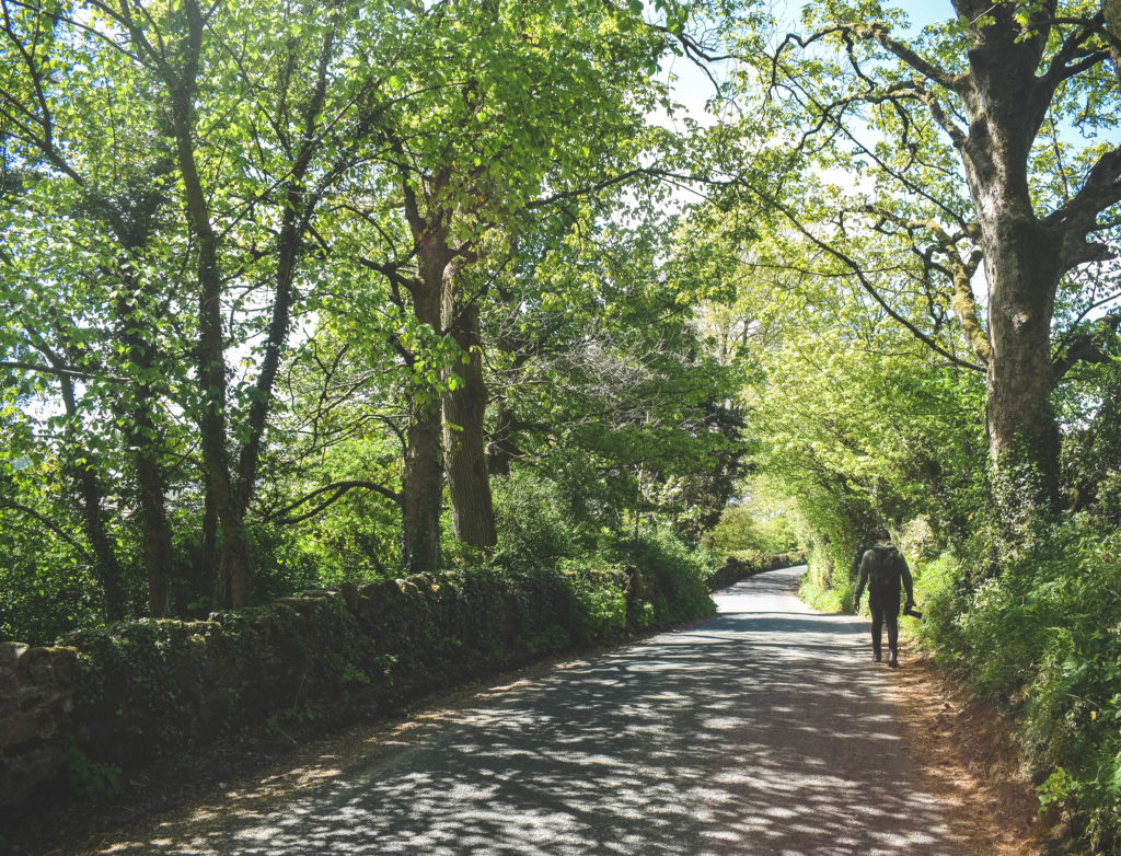
As we enter a nicely shaded part of the road section of our walk, keep your eyes pealed for a public sign post (left).
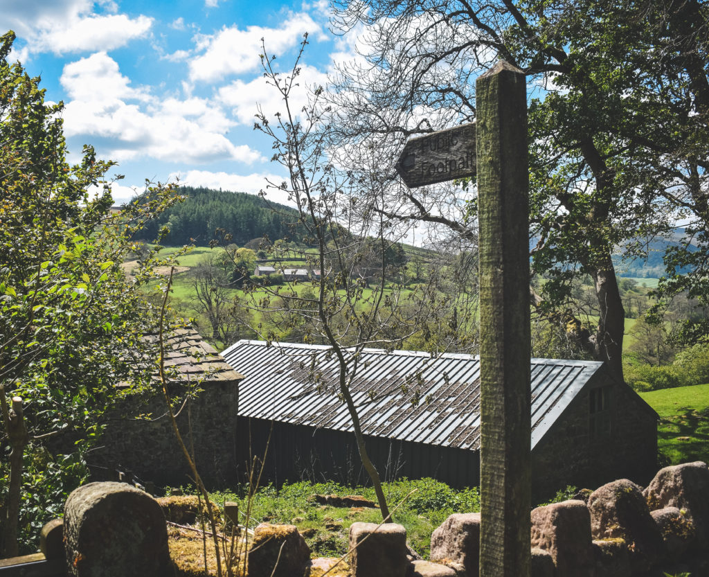
Pass through the gate, head down past the buildings and enter the next field to join on to a farmer’s track, with the river back down on our left…
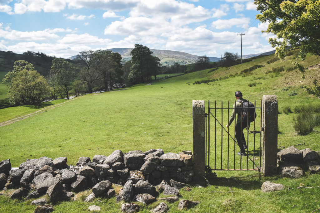
We will be sticking to this side of the river now for just short of a mile. Note, it can be a little boggy in spots on this stretch.
Just a few more stiles and bridges now to finish off our walk 🙂
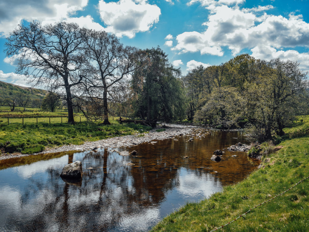
Eventually you should have this view of the river on your left.
Follow the river round to the left until you spot a stile heading into a small, wooded area. We’re nearly back at the start now!
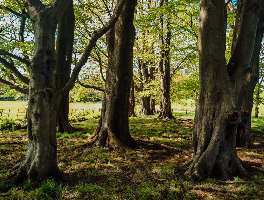
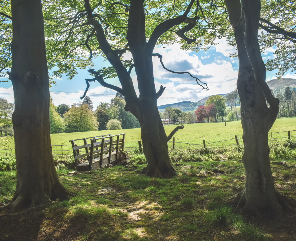
After crossing the bridge, we recommend keeping left to the river’s edge. Your last chance to enjoy the River Hodder before heading back to the carpark…
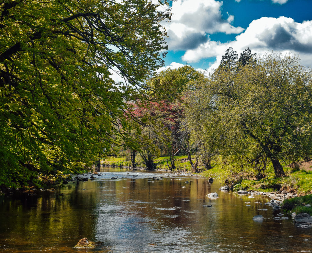
After sampling one of nature’s finest creations here in Lancashire one last time, continue round the field’s edge until reaching a stile which leads us back on to the road we started on. You should notice the first bridge we crossed at the beginning!
Turn right on the road and head back to the carpark or perhaps even Paddleducks Cafe!? Either way, we hope you enjoyed this beautiful, scenic 5 mile hike!
That concludes our Hodder Bank Fell walk, published here on LancashireLads.life
Did you manage to complete our Hodder Bank Fell walk?? Feel free to leave us a review on the Outdoor Active App!
For more of the best less known walks in Lancashire, be sure to head over to our walking blog
We will be posting regular updates on our Youtube channel too, so be sure to SUBSCRIBE if you don’t want to miss any of our walk trailers!
If you’re on Instagram, you might want to check out our Lancashire Lads page for lots of beautiful imagery of Lancashire and beyond.
Finally, if this walk recommendation has proved useful, and you wish to support Lancashire Lads on our mission to provide more walks and coffee stops along the way, you can now grab us our next coffee to keep us fueled!


1 thought on “Hodder Bank Fell (5 miles)”